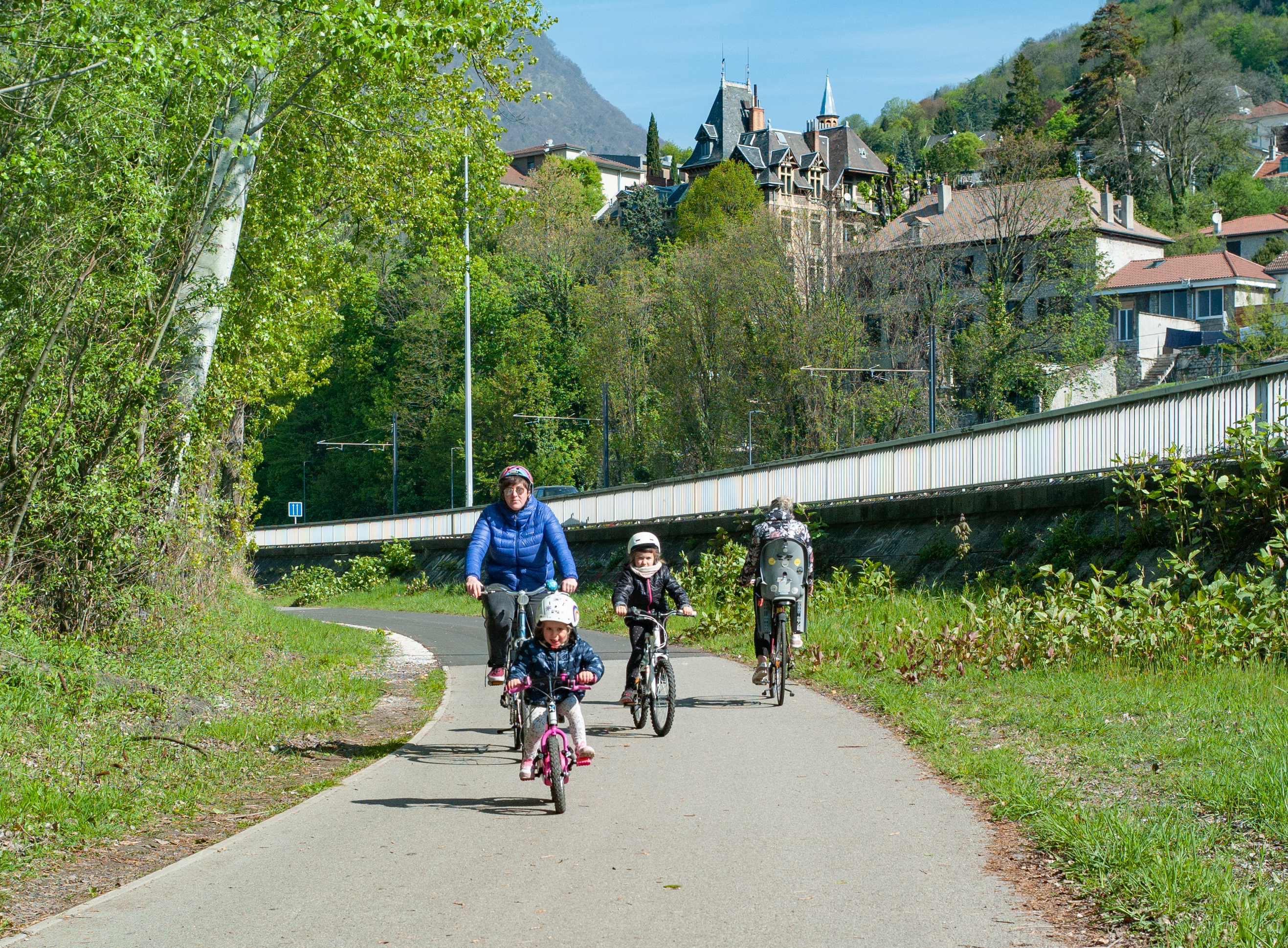
Boucle vélo Confluence Isère Drac
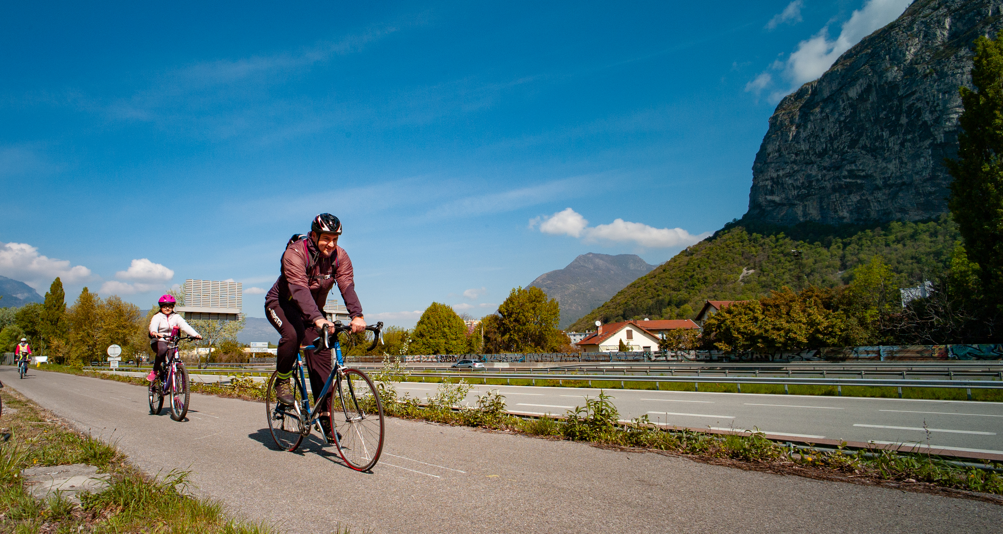
This beautiful loop around the confluence of the Isère and Drac rivers is suitable for all levels of rider and all types of mount.
This beautiful loop around the confluence of the Isère and Drac rivers begins at the parking lot next to the Saint-Égrève dam. This meeting point has direct access to the greenway, which takes you south-east towards Grenoble, and north-west for the Maupas-Veurey loop.
From one bank of the Isère to the other, this loop is almost entirely flat. All you have to do is get on and off at the quays. The route uses 95% of the waterfront facilities dedicated to cycles and soft modes of transport. This fun ride is suitable for all levels of ability and all types of bike.
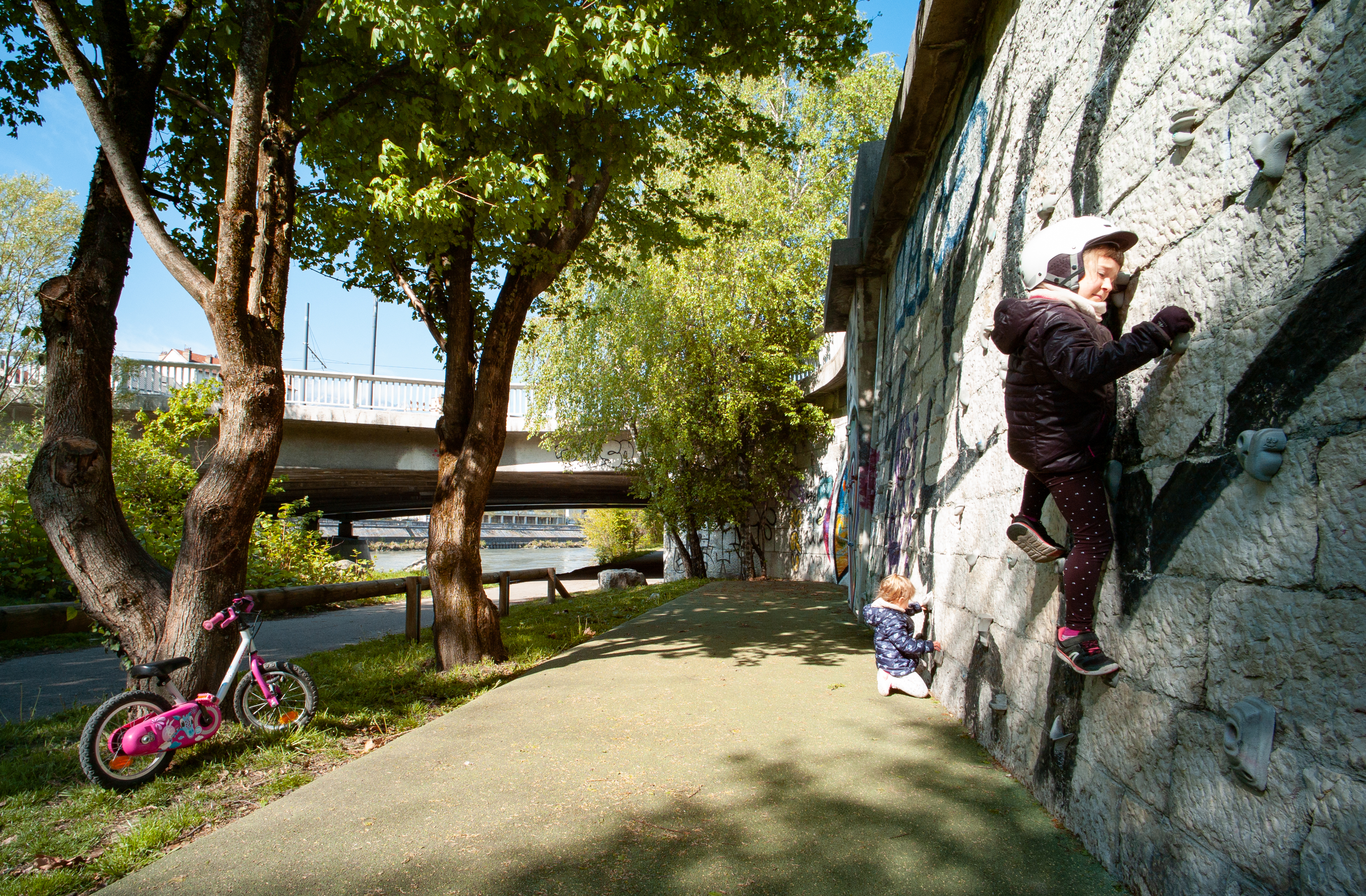
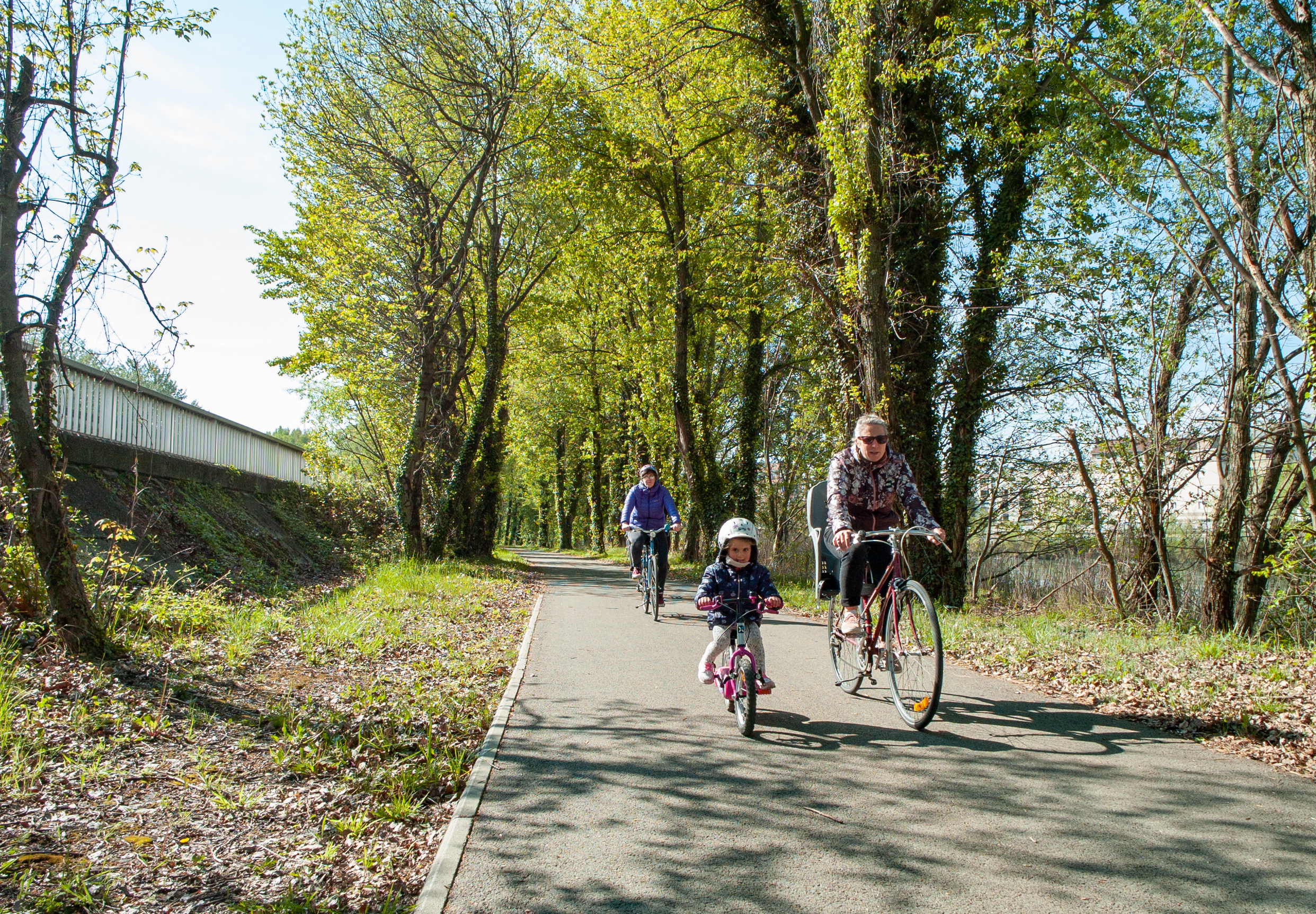
On the first section, as you head upstream along the Isère, take time to admire the view of the confluence that marks the start of the Grenoble peninsula. Shortly afterwards, you'll be greeted by a multitude of street-art works of art on your left. After a quick incursion into one of the city's historic centers, your return along a gravelled, shaded path is most pleasant.
From the parking lot, take the cycle path under the D105F to join the Berges de l'Isère greenway. Heading south-east, it takes you up the river for over 7km.
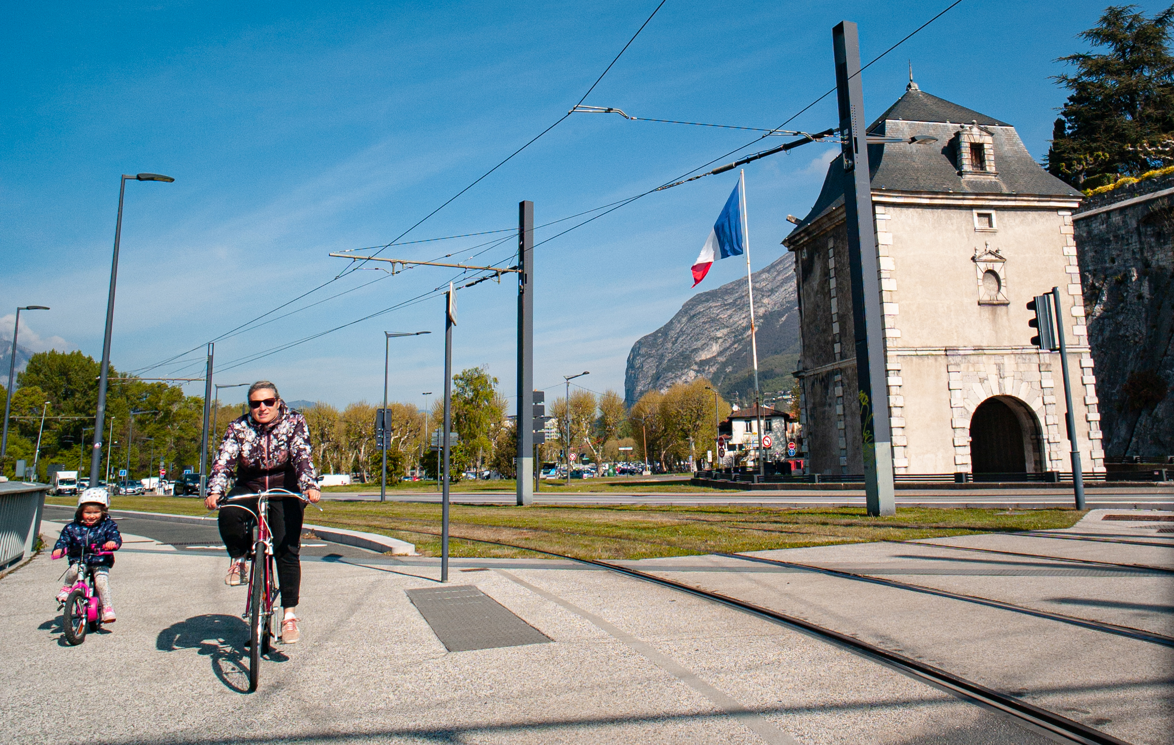
Exit the voie verte by taking the cycle path that rises to the left and reaches the top of the quay. Stay on this path, which runs alongside the tramway tracks and the D1075, and crosses the Isère at the Porte de France bridge.
At the end of the bridge, turn right onto the Quai Claude Bernard cycle lane, which becomes Quai de la Graille.
Continue straight ahead on Quai Paul-Louis Merlin for 150m, then turn right past the tennis court and Square Jean-Macé. Follow the greenway along the Isère for almost 3km.
After passing the Synchrotron, continue along the cycle path away from the Isère and towards its tributary, the Drac, where you can cross the river.
At the end of the bridge, turn right to reach the banks of the Drac, which flows into the Isère shortly afterwards. Follow the river again for almost 3km.
After passing under the D105F, turn right onto the cycle path, which takes you back to road level, back across the Isère and back to your starting point.
En pratique
- Acceptés
Publics
- Level green – easy
Tranche d'âge
- À partir de 5ans
Animaux acceptés
- Acceptés
Conditions d'accueil des animaux
- Les chiens acceptés en laisse
Services
- Pets welcome
Équipements
- Parking nearby
Nature du terrain
- Hard coating (tar, cement, flooring)
Informations complémentaires
Durée moyenne d'une visite groupée
- 100h
Ouvertures
All year round.
Subject to favorable weather.
Périodes
- Autumn,
- Summer,
- Winter,
- Spring
Tarifs
Free access.
A voir aussi
S'y rendre
Latitude : 45.237566
Longitude : 5.660181
Altitude : 210
38120 Saint-Égrève
S'y rendre
Possibilité de partir directement de Porte de France, à 1km de la gare.
Information mise à jour le 21/08/2024
par Office de Tourisme Grenoble Alpes


