Le sentier de la meulière des Dauphins
This themed trail departs from the hamlet of Namières and takes you on a discovery of 13 stations, to learn about a stone quarry used from the Middle-Ages to the beginning of the 16th century. Find out all there is to know about the extraction, cutting and transport of millstone from Mont Saint Martin! 2 hours.
In the days when mills crushed grain, millers used millstones cut from stones with special properties. These stones came from specific quarries known as millstones.
Particularly rich in this type of stone, the Chartreuse region boasted more than a dozen of them, five of which reached industrial size and sent their output 100 kilometers around.
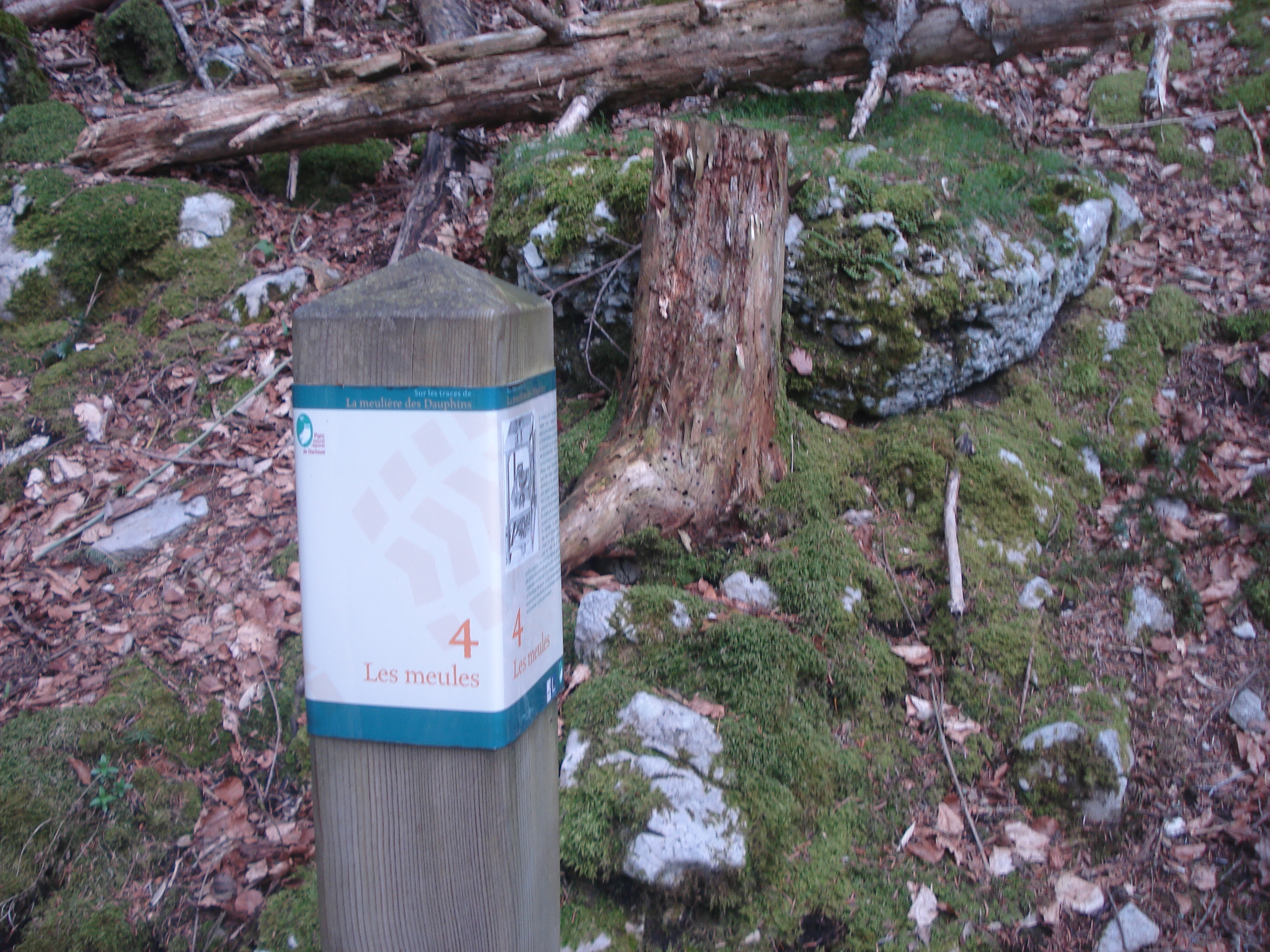
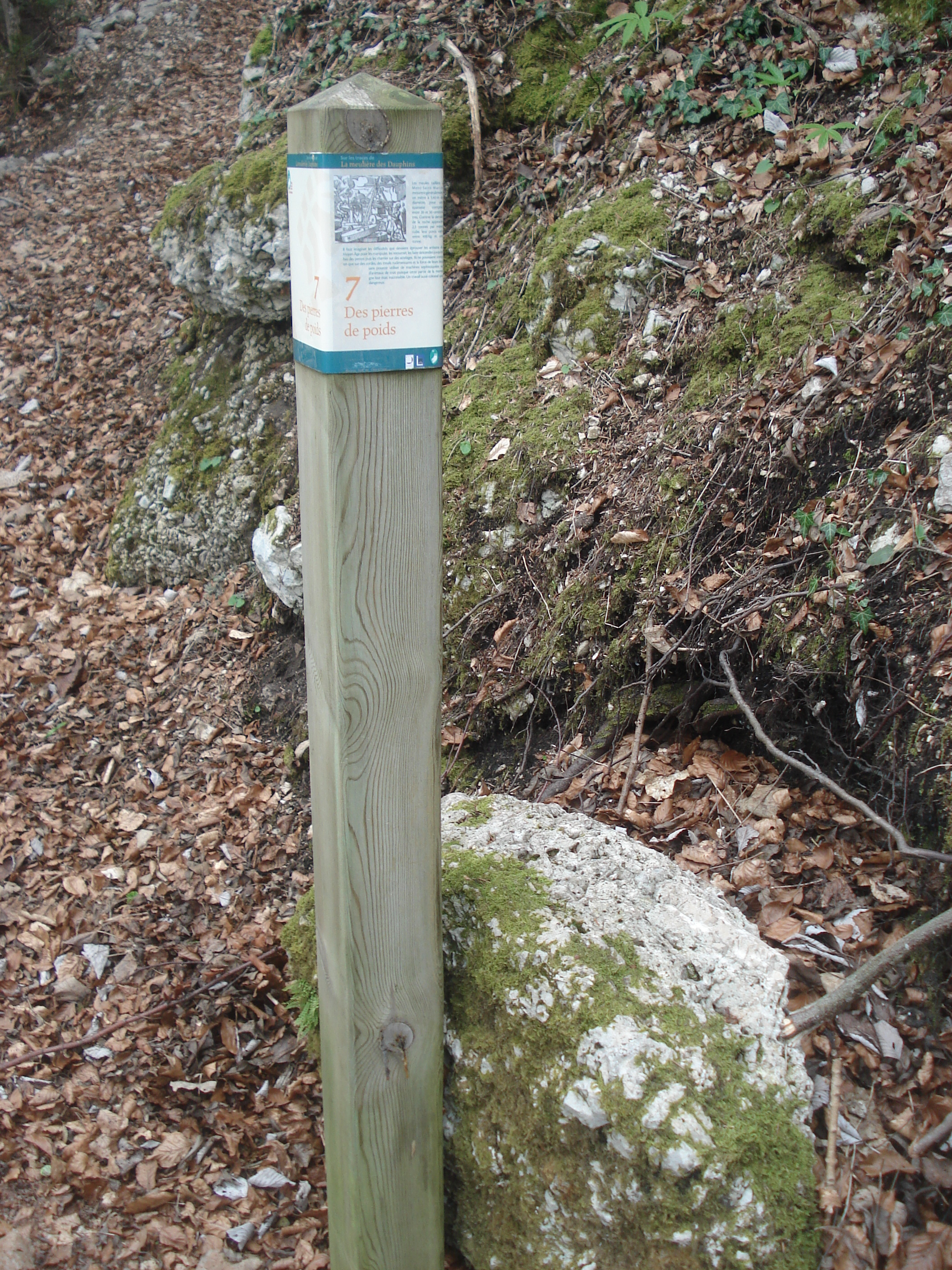
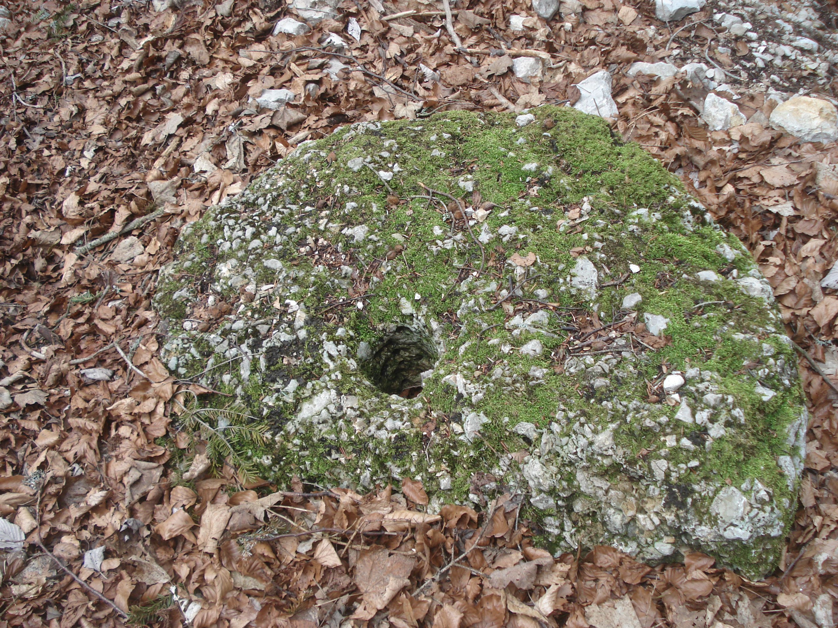
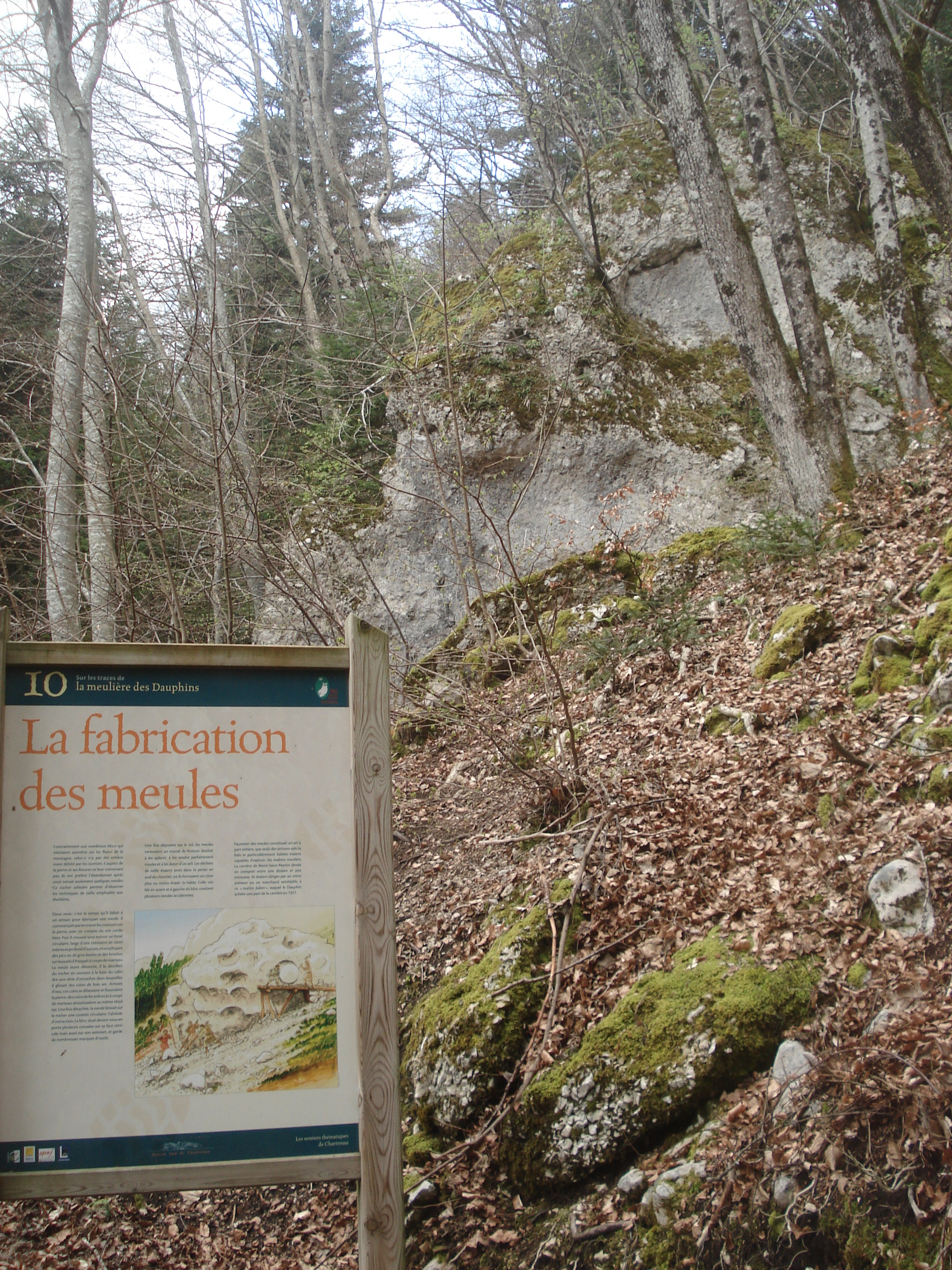
At the start of the trail, an information panel describes the itinerary for hikers. The walk begins on a wide, moderately uphill track that enters the valley of the Lanfrey stream. This comfortable path allows hikers to observe the forest, which is mainly made up of deciduous trees. The relatively steep-sided valley retains a humid atmosphere all year round, conducive to the growth of mosses, adding to the "lush" character of the vegetation. The striking thing about Mont-Saint-Martin is its silence. Indeed, the outskirts of the Grenoble metropolis are often accompanied by the sound, more or less loud, of urban activity. In this case, however, the remoteness and altitude of the area have done away with this noise pollution, much to the delight of hikers.After 1 km of fairly straight ascent, you reach Les Combes. Turn right for 120 m, then left along the millstone path. After 400 m on a good, slightly steep path, turn right, following the footpath markings, onto the much steeper buttress forming the base of the church rock. In this part, the forest has become mixed and is largely planted with conifers, firs and spruces. It is on this part of the route that the remains of millstones are most numerous. Most of them are accompanied by a panel clearly explaining the work of the master millers of the Middle Ages. This part of the itinerary, which forms a 1 km loop, reveals 8 situations described by explanatory panels. The itinerary then returns to a section already covered on the outward journey. Continue straight ahead on a good forest track which gradually descends towards Namière and the starting point.
SEE AND KNOW: In the Middle Ages, to obtain quality flour, men were prepared to make exceptional efforts given the technical means available at the time. A visit to the Dauphins millstone trail is enough to convince you of this. In 2002, following the reading of a 14th century manuscript and hundreds of hours of research in the field, this quarry was uncovered, demonstrating the skill and daring that men were capable of to cut quality millstones.
En pratique
- Non disponible
Publics
- For beginners / novice,
- Children,
- Level green – easy,
- Teenagers
Animaux acceptés
- Non disponible
Nature du terrain
- Stone,
- Ground,
- Not suitable for strollers
Informations complémentaires
Langues parlées
- French
Langues documentation
- French
Durée moyenne d'une visite groupée
- 120h
Ouvertures
From 01/01 to 12/31.
Subject to favorable weather.
Périodes
- Autumn,
- Summer,
- Winter,
- Spring
Tips
In the village of Mont Saint Martin, take the opportunity to see the sundial on the south facade of the town hall-church.
S'y rendre
Latitude : 45.272013
Longitude : 5.67849
Altitude : 797
38120 Mont-Saint-Martin
S'y rendre
Bus Flexo line 63 Stop "Chemin de Namière
Information mise à jour le 26/07/2024
par Office de Tourisme Grenoble Alpes


