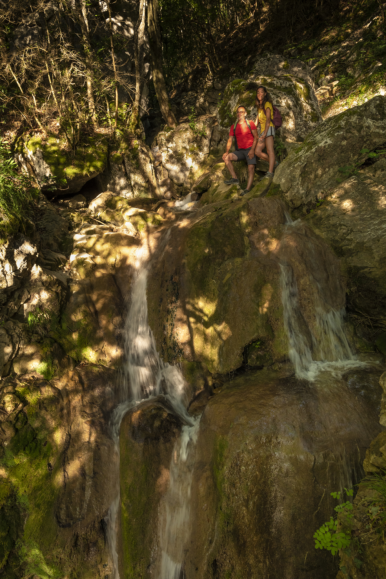
The stream of Pissarde
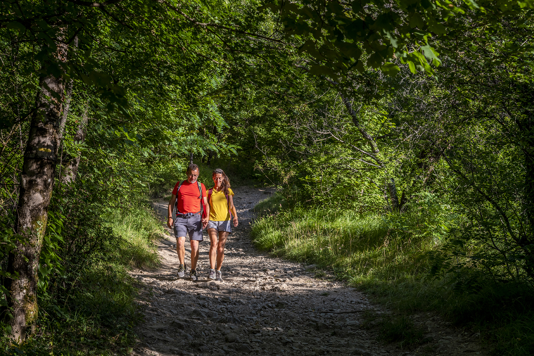
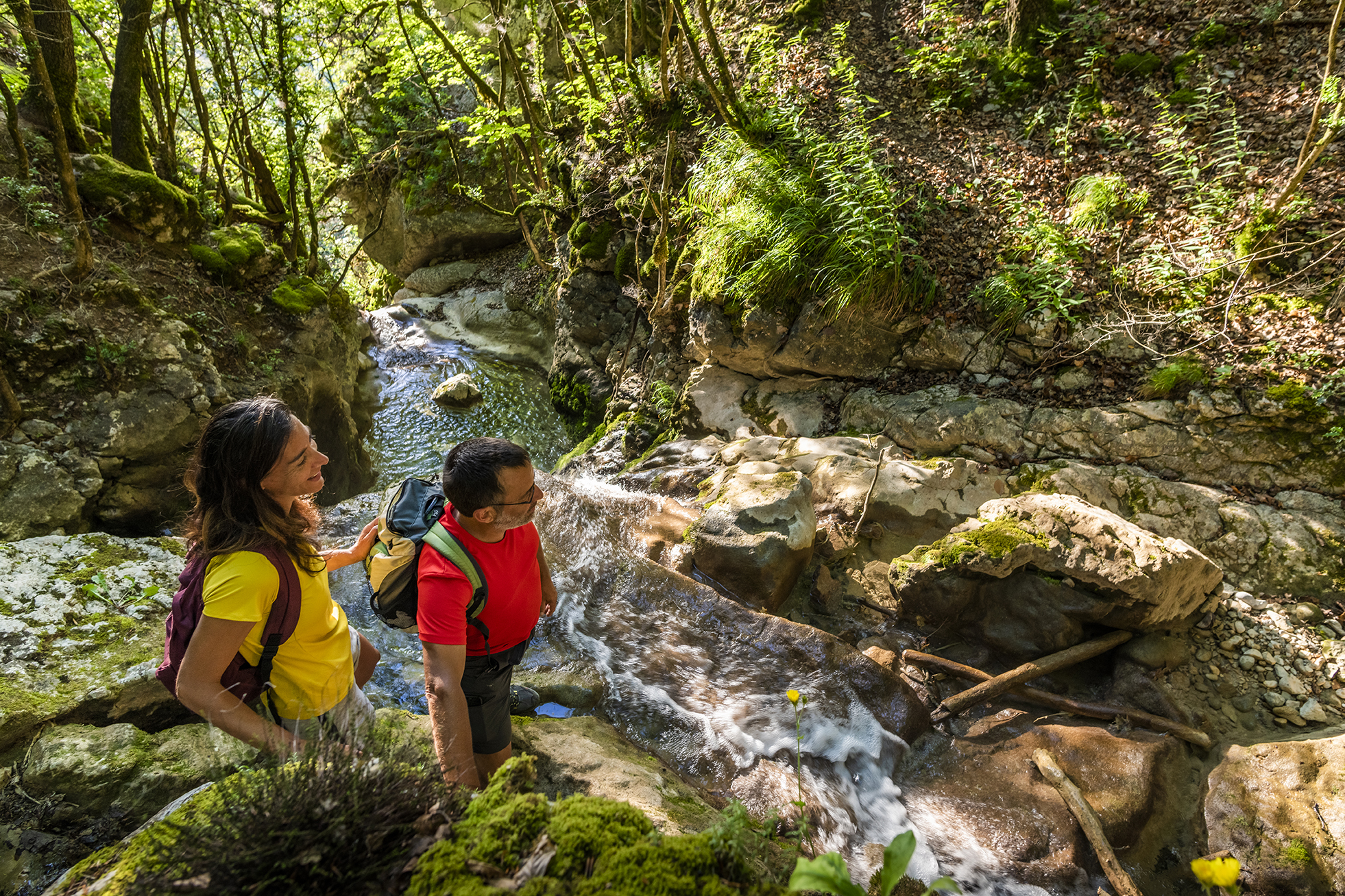
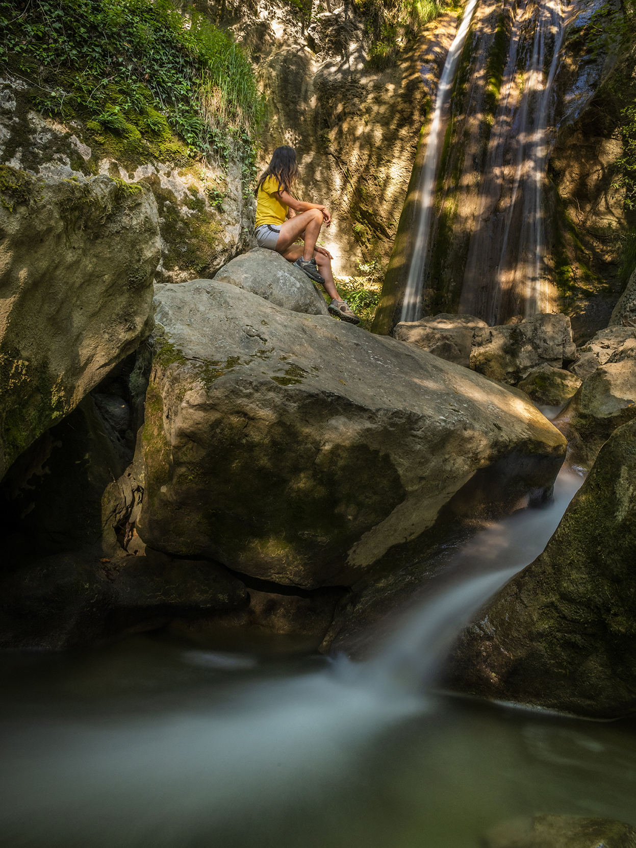
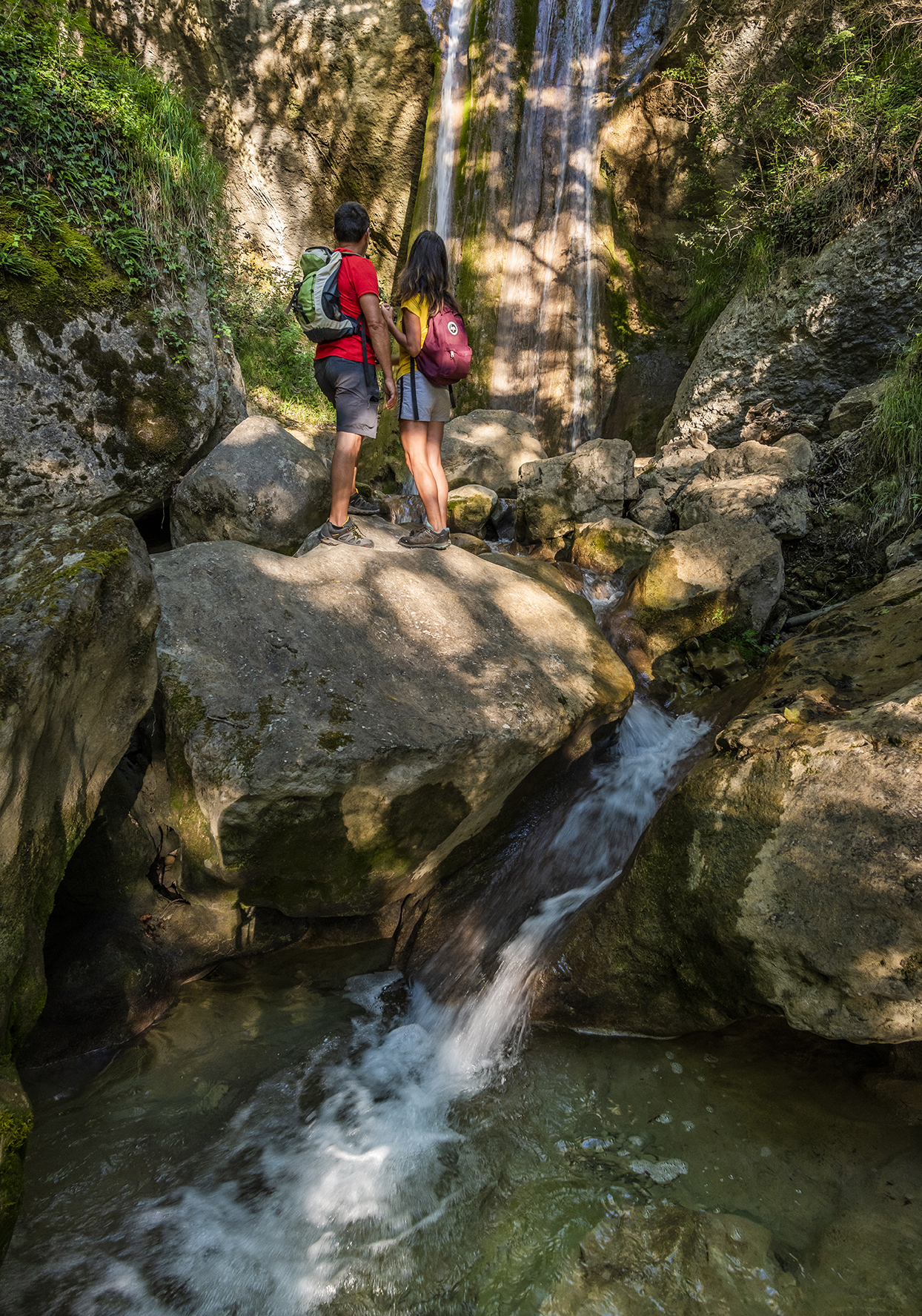
In Claix, at the foot of the Vercors, flows the stream of the Pissarde with its Cascade d'Allières. In summer, you can find a little coolness here. It is however advisable to be careful at the level of the cascades not to approach too close to the verticals.
From the castle of Allières (alt. 350 m), come back on the road on the Claix side, in direction of Allières at 80 m. It is a yellow marking that you follow on this hike. After a few hundred meters, the marked itinerary takes the "rue du Pré du Merle" on the left, in the direction of Savoyères and La Pissarde. You go up the street, then the tar gives way to a dirt track that you take straight ahead to find the road a little higher. Another 50 m on this one, and you leave it again. You always follow the direction of La Pissarde. The path then rises more seriously for about 200 m of ascent. As you find the asphalt again, turn left, and go past the right turn for about 100 m. The path goes back on the left side of the road to go up the left bank of the Pissarde brook a little further. The path leads you back to a road, at the level of the combe du Vent (alt. 735 m). Continue straight ahead on the path towards Savoyères with the Pissarde on your left. The itinerary ends up going away from the stream to the north, and after a flight of steps, you reach another wider path that you continue upstream. You arrive at the hamlet of Savoyères (alt. 862 m). Without taking the road, turn directly left. On the building in front of you, a sign indicates the direction of Saint-Auge and the Arc pass. (Attention: the direction of Malatrat is not indicated on the PDIPR sign of Savoyères). Take at the next sign the direction of Malatrat. To get there, turn right towards the Combe de la Paillière. Always follow the yellow markings, and above the water tank, go straight ahead in the bend and not on the track on the right, track that you find higher to the left.
At the combe de la Paillière (alt. 1,067 m), continue straight ahead to reach the combe du Cerisier (alt. 1,131 m), the high point of your hike. Then turn left on the wide forest track, to go down towards the Pissarde wood. At the Bois de la Pissarde (alt. 1,100 m), again on a road, continue your descent towards Biaucoin and Savoyères. At Biaucoin (alt. 1040 m), leave the asphalt on the left. This main track leads you to Malatrat, where you join your loop. You just have to turn right to reach Savoyères. At Savoyères (alt. 862 m), turn right again to go down your route to your starting point at Allières castle (alt. 350 m).
Points of interest :
- The waterfall of Allières
- The stream of Pissarde
- Savoyères
- The freshness of the undergrowth
En pratique
- Acceptés
Publics
- Walkers/hikers,
- Level red – hard
Animaux acceptés
- Acceptés
Conditions d'accueil des animaux
- Chiens tenus en laisse
Services
- Pets welcome
Nature du terrain
- Rock,
- Stone,
- Ground,
- Not suitable for strollers
Informations complémentaires
Langues parlées
- French
Durée moyenne d'une visite groupée
- 300h
Ouvertures
All year round.
Périodes
- Summer
Tarifs
Free access.
S'y rendre
Latitude : 45.10471
Longitude : 5.66455
38640 Claix
S'y rendre
Some parking spaces at the Château d'Allières
Bus Line 47 - Stop Val d'Allières
Information mise à jour le 31/10/2024
par Office de Tourisme Grenoble Alpes


