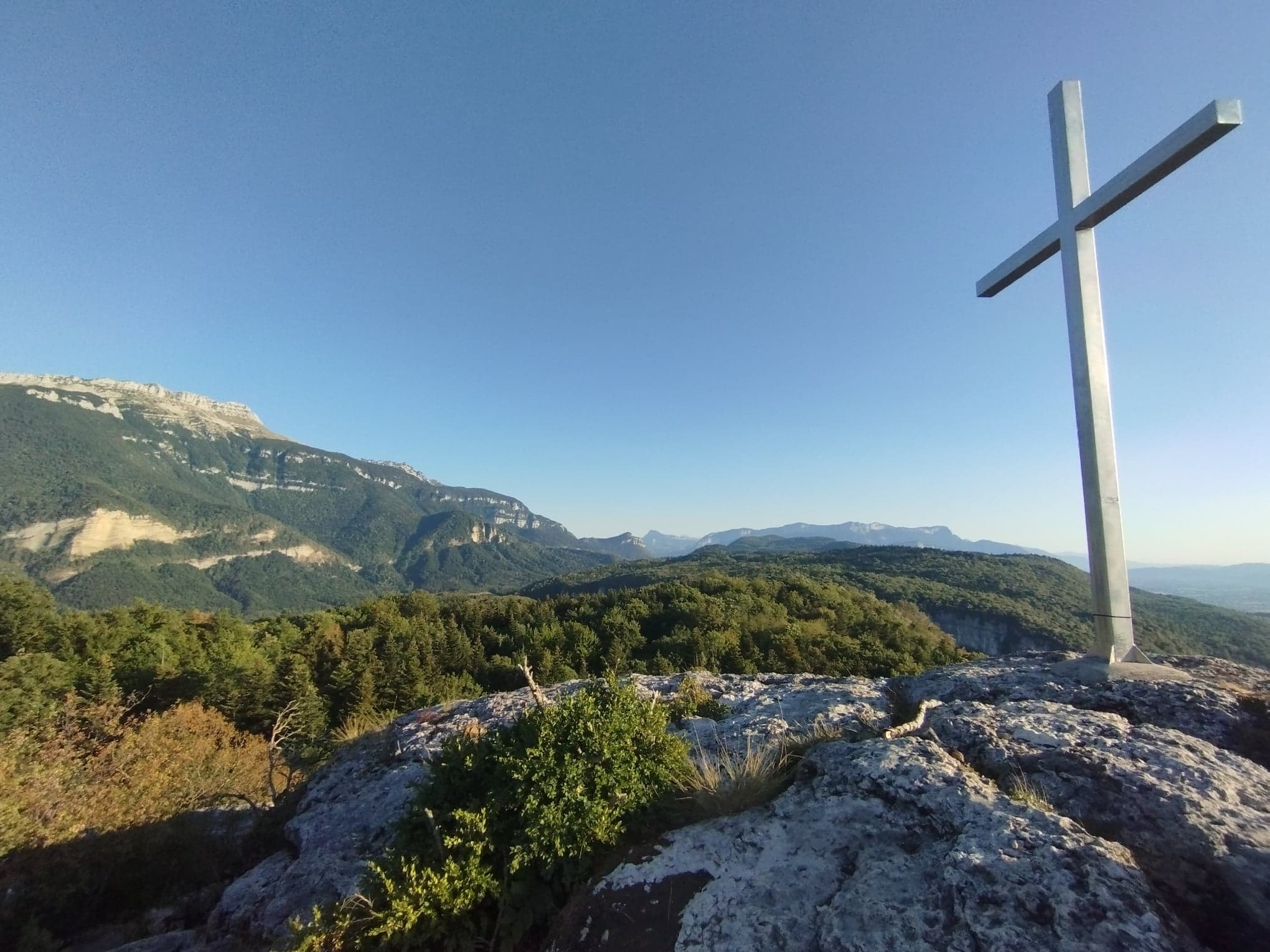
Boucle du Rocher de la Garde
A small and easy walk in a true mountain atmosphere.
Car Park: At the exit of St-Joseph-de-Rivière, take the direction of Voiron, turn right to La Bourderie/Le Stade. Park along the road near the football field.
Description: Stay on the main road to the junction St Robert (1), follow La Garde. The path meets the road, keep going to the highest point of the hamlet of La Bourderie, by the road. At the Bassin du Rousset (2), follow Rocher de la Garde (yellow signs). At the Chargeoir de la Bourderie, follow La Garde. Keep following Rocher de la Garde. Be careful when you are on the limestone, and when you reach the top, because the cliff is just behind the cross. From the top, go down to the junction Sous le Rocher, and keep going down on the right to Au-dessus des Gorges (3). At the junction above the gorges, take left to Gorges de Crossey (4). At the junction Les Cloches de Rome (5), keep going to St Joseph de Rivière. At Le Bois de la Garde (6), join the Bassin du Rousset (yellow signs) and come back to your starting point via La Bourderie.
En pratique
- Non disponible
Publics
- Level bue - Medium
Animaux acceptés
- Non disponible
Continue on the road until the St Robert junction (1), then follow the path towards La Garde. The path joins the road; turn left after the La Bourderie basin at the Chemin de Leygaz sign. Follow the trail, and on the paved section, turn left at the top of the intersection, then continue ascending on the road. At the Rousset basin (2), follow signs for Rocher de la Garde (yellow markers). At the Chargeoir de la Bourderie, follow signs for La Garde. At the La Garde post, follow signs for Rocher de la Garde. Exercise caution when crossing the lapiaz area, and at the summit, be aware that the cliff is just behind the cross.
From the summit, descend to the Sous le Rocher junction, then turn right towards Au-dessus des Gorges (3). At the Au-dessus des Gorges junction, turn left towards Gorges de Crossey (4). At the Cloches de Rome junction (5), follow signs for St-Joseph-de-Rivière. At the Bois de la Garde (6), return to the Rousset basin (yellow markers) and follow the route back to the starting point via La Bourderie.
Informations complémentaires
Langues parlées
- French
Durée moyenne d'une visite groupée
- 120h
Ouvertures
From 01/01 to 31/12.
Subject to favorable weather.
Périodes
- Autumn,
- Summer,
- Winter,
- Spring
Tarifs
Free access.
A voir aussi
S'y rendre
Latitude : 45.372808
Longitude : 5.687209
Altitude : 404
38134 Saint-Joseph-de-Rivière
S'y rendre
Carte 1/35000 - Massif de Chartreuse - Edition Didier Richard / Glénat / IGN / Carte IGN TOP 25 n°3334 OT Massif de la Chartreuse Sud / Saint-Pierre-de-Chartreuse / Villard-Bonnot et n°3333 OT Massif de la Chartreuse Nord
Accès en transport en commun (depuis Grenoble) : Bus T40 / Arrêt St Joseph de Rivière - village
Information mise à jour le 17/06/2024
par Isère Attractivité


