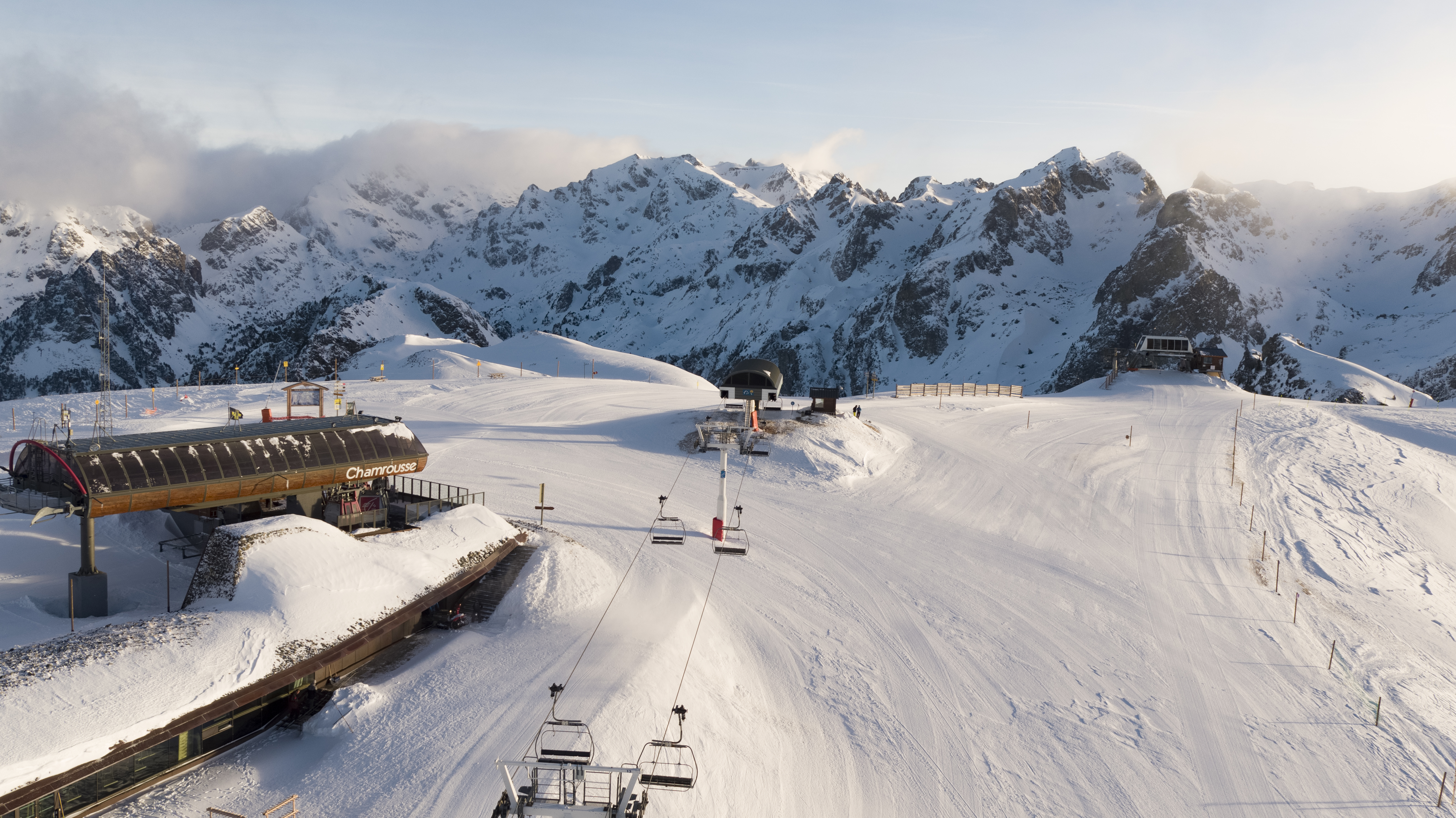
Modified departure - Snowshoeing itinerary: Croix de Chamrousse
Climb to the top of the Chamrousse resort, through the forest and discover magnificent views.
Departure point: uphill bend in the Bachat Bouloud road, near the Skiset store.
From Route de Bachat Bouloud: approx. 5h round trip / 7km and 520m ascent.
On arrival, the view of Grenoble and the Grésivaudan valley is breathtaking.
Please note that dogs are not allowed on this route.
En pratique
Équipements
- Parking nearby
Services
- Pets welcome
Horaires
Du 15/12/24 au 15/04/25
-
Lundi :
Ouvert
-
Mardi :
Ouvert
-
Mercredi :
Ouvert
-
Jeudi :
Ouvert
-
Vendredi :
Ouvert
-
Samedi :
Ouvert
-
Dimanche :
Ouvert
Subject to snow conditions
Tarifs
Free access.
À voir aussi
S'y rendre
Latitude : 45.103552
Longitude : 5.882705
Altitude : 1700
Chamrousse 1700
38410 Chamrousse
S'y rendre
New start: uphill bend in the Bachat-Bouloud road.
Public transport - Villages du Bachat stop - Chamrousse 1700 :
- station shuttle: "Épicéas - Villages du Bachat" stop (to/from Chamrousse 1750 - Roche Béranger)
Public transport - stop Chamrousse 1750 - Roche Béranger :
- regular bus service all year round: N93 (to/from Grenoble), "Chamrousse 1750" stop [merger of former bus routes T87, Transaltitude and Destination nature Skibus / Estibus 707].
- bus line / shuttle on reservation weekdays excluding public holidays: Flexo 57 to/from Uriage [former TAD TouGo transport on demand - line G701].
- resort shuttle in winter and summer: "Centre Commercial (1750)" stop (to/from Chamrousse 1650 - Recoin and Chamrousse 1600 - plateau de l'Arselle/nordic area)
Further information at https://www.itinisere.fr
Information mise à jour le 15/09/2024
par Office du Tourisme de Chamrousse


