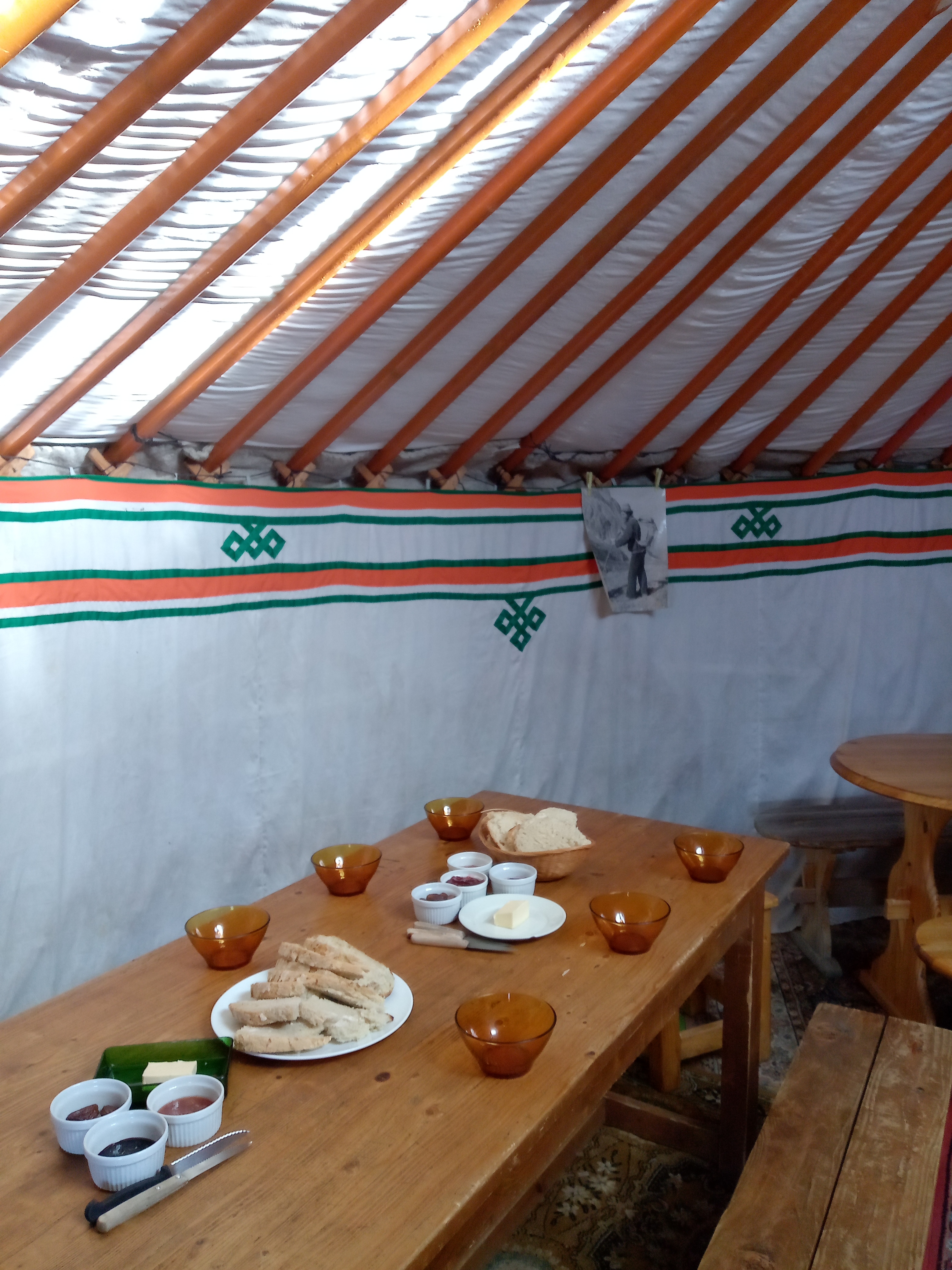
Taillefer Hut
the Plateau of Le Fourchu, where sleep a hundred lakes, lies at 2000 meters above sea level. Its endemic flora and fauna readily recall the northern tundra landscapes. The refuge is located in this unique setting; the path accessible for all ages.
Please note: this site has been awarded the Natura 2000 label and is subject to numerous measures to preserve its biodiversity. We therefore invite you to adopt the right reflexes when you come to protect this sensitive area.
The landscape here is reminiscent of the northern tundra, dotted with a myriad of small lakes and frog pools. Some of these lakes contain fossilized tree trunks in their sediments, testifying to the presence of the forest here 6,000 years ago. The entire plateau is classified Natura 2000, the European network of remarkable natural environments.
Come and enjoy the panoramic view of the Oisans mountains from the orientation table 50 m from the refuge.
En pratique
Équipements
- Soal hot water,
- Board games,
- Terrace,
- Sustainable development,
- Outhouse,
- Orientation board,
- Book shop,
- Equipment store closed
Services
- Breakfast,
- Booking obligatory,
- Half-board,
- Restaurant,
- Picnic hampers,
- Running water,
- Drinking water
Confort
- Heating,
- Duvet,
- Shower,
- Bunk beds
Horaires
Du 07/06/24 au 21/09/24
-
Lundi :
Ouvert
-
Mardi :
Ouvert
-
Mercredi :
Ouvert
-
Jeudi :
Ouvert
-
Vendredi :
Ouvert
-
Samedi :
Ouvert
-
Dimanche :
Ouvert
Tarifs
Modes de paiement
- Check,
- Travellers Cheque,
- Cash
Du 22/09/24 au 21/09/25
- Breakfast
- 10€
- Picnic to take away
- 12€
- Dinner
- 22€
- Half board (pp)
- 45€
- Half-board (child) From 5 to 11 years old
- 35€
Demi-pension enfant < 5 ans : 12€
Pour le pique-nique 1€ supplémentaire est demandé si des couverts et une boite jetable doivent être fournis.
À voir aussi
S'y rendre
Latitude : 45.063417
Longitude : 5.954532
Altitude : 2056
la SEA
38520 Oulles
S'y rendre
Par Oulles en 2h depuis le hameau du Pouillard, dénivelé 656 m. Vue magnifique sur les sommets de l'Oisans tout au long de la randonnée (Carte : n°3335 OT)
Par la Grenonière à Ornon, garez-vous sur le parking des terres froides, puis suivez le GR50 jusqu’à Basse Montagne, avant de prendre à droite jusqu’au refuge.
Dénivelé : 730m, temps d'accès : 2h30 (Carte : n°3335 OT et n°3336 ET).
Par l’Alpe du Grand Serre, suivre la route goudronnée du Poursollet. Puis, prenez le GR50 en direction du Lac Fourchu, contournez le par la droite, franchissez le Pas de l’Envious avant de redescendre sur le refuge.
Dénivelé : 400m, temps d'accès : 2h.
Information mise à jour le 23/09/2024
par Oisans Tourisme


