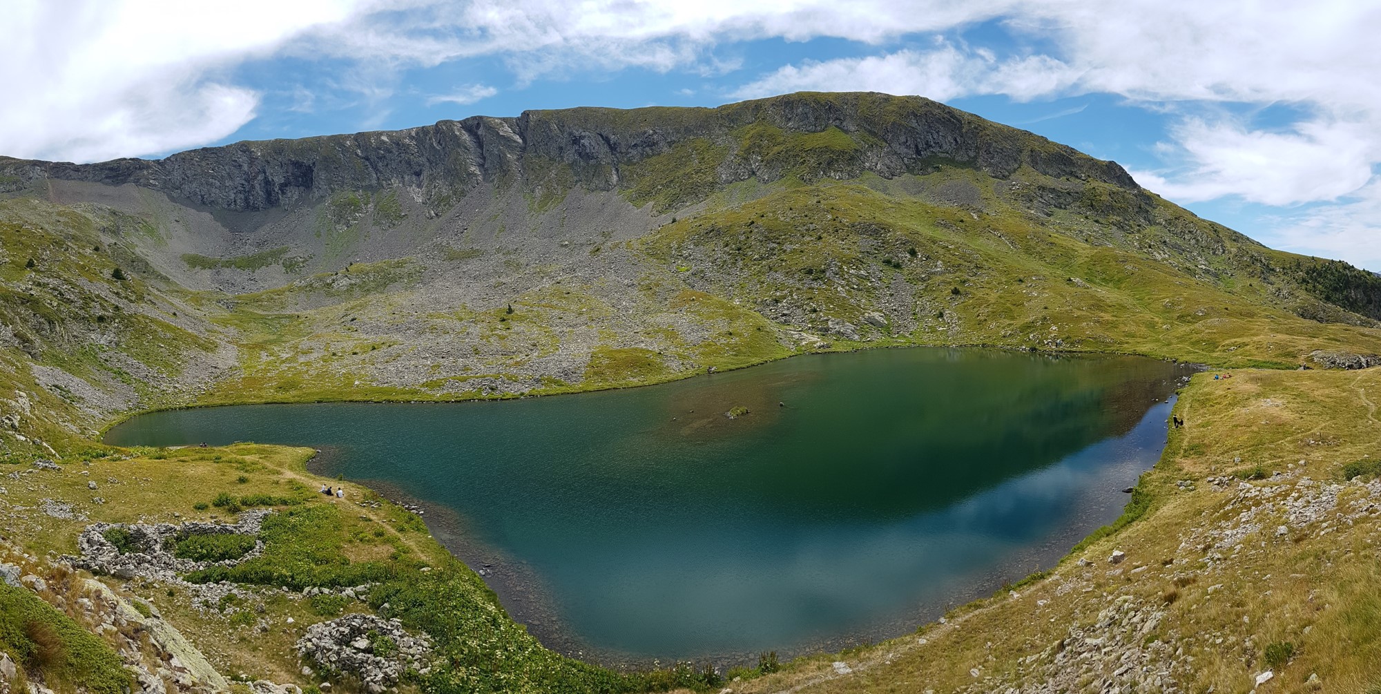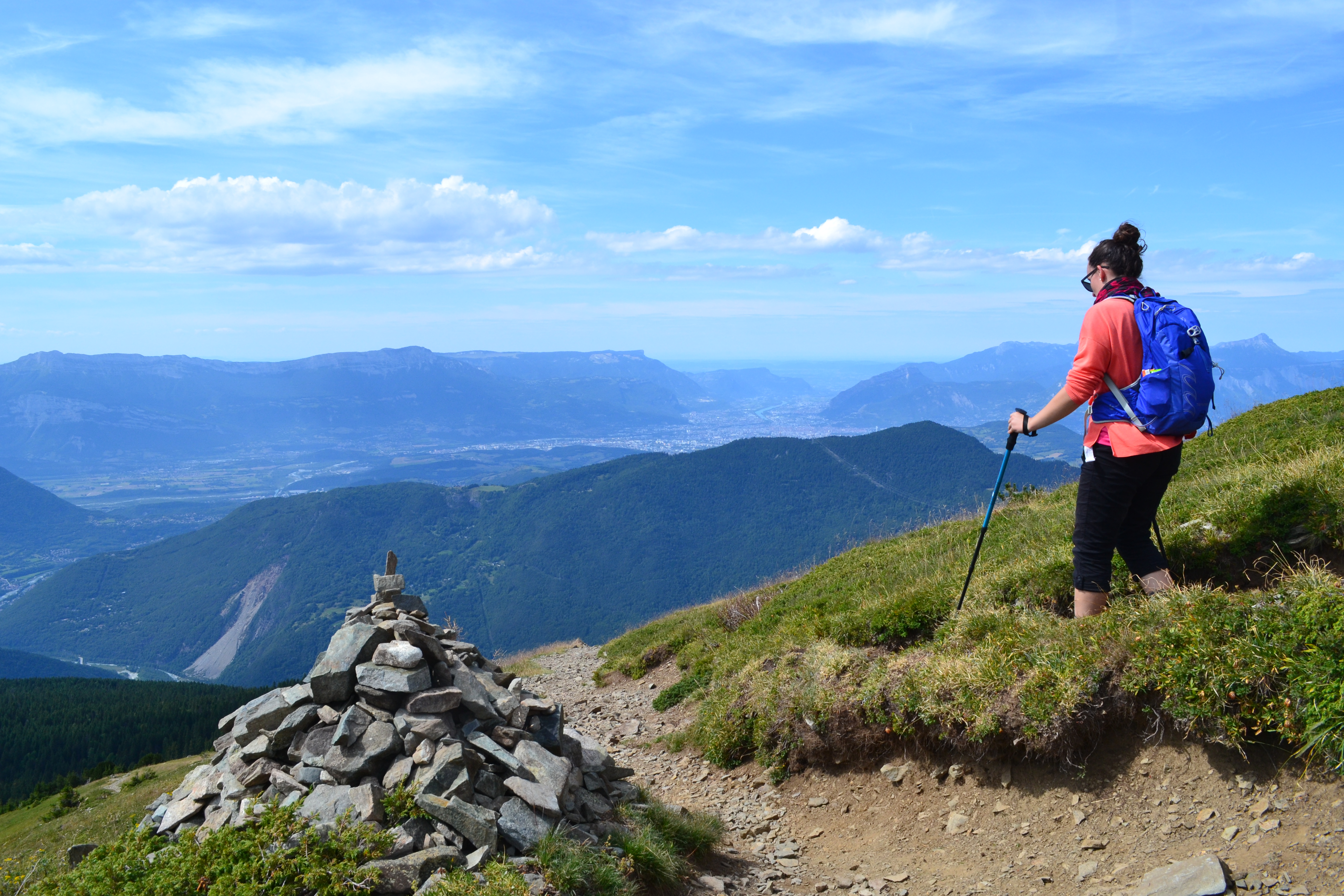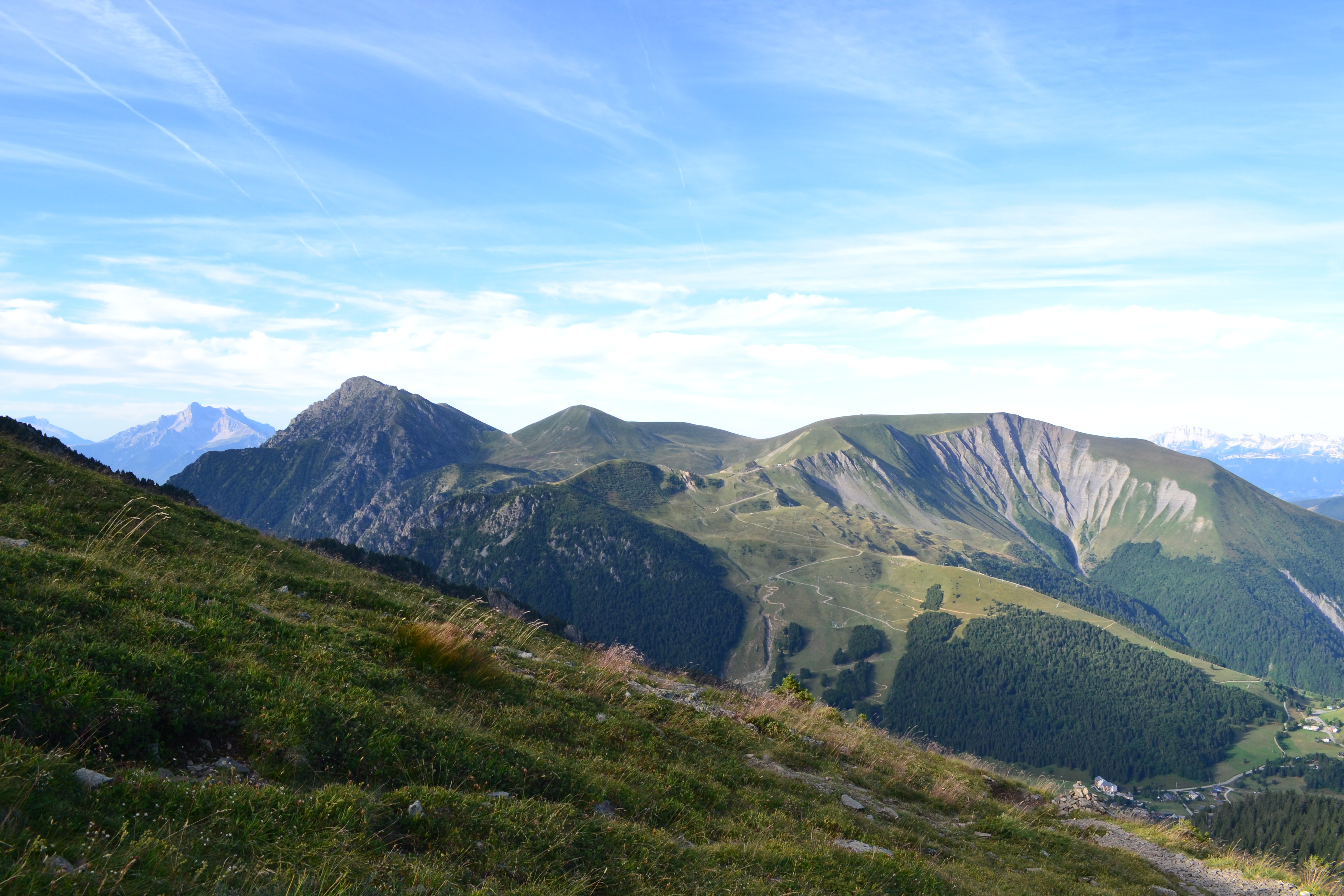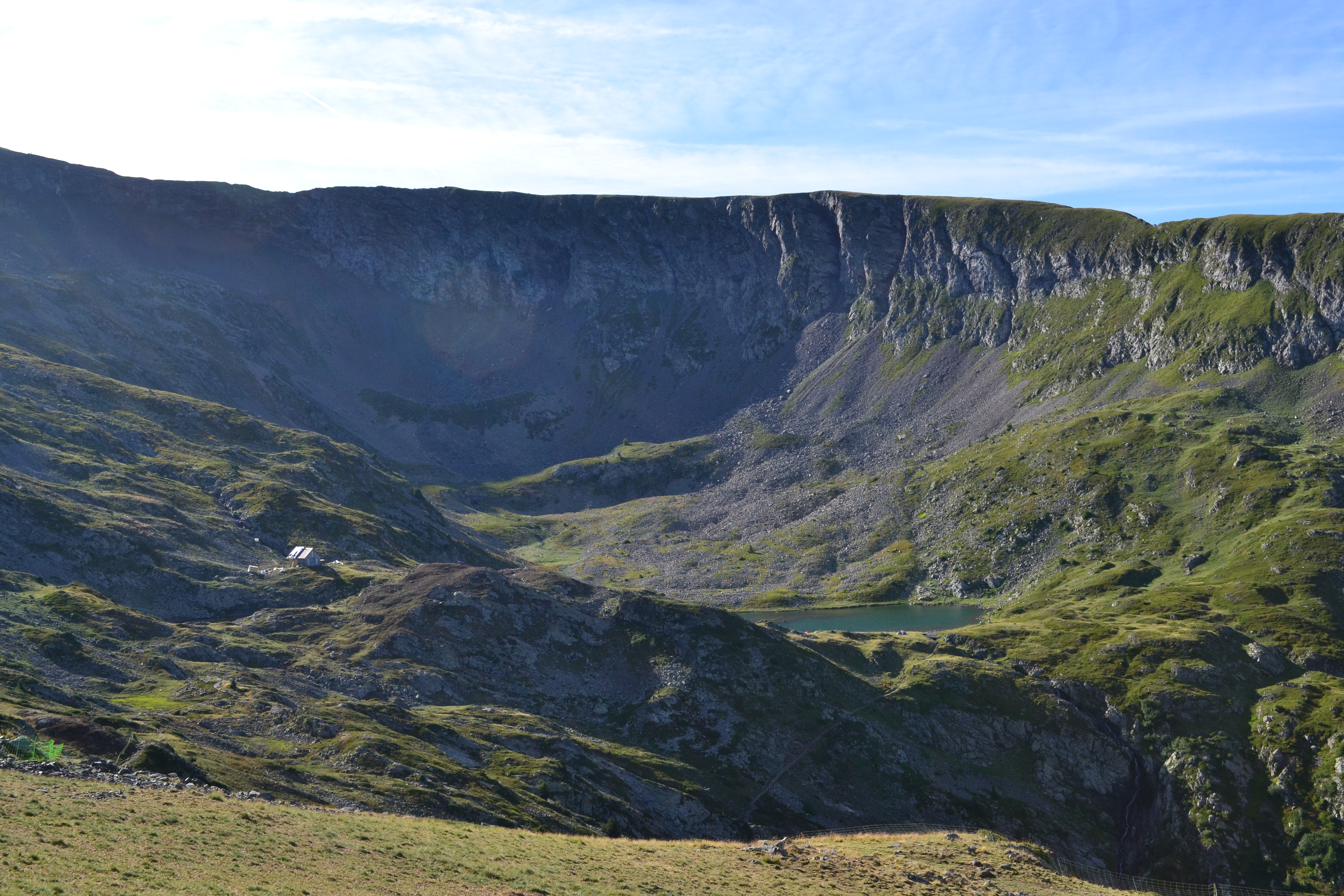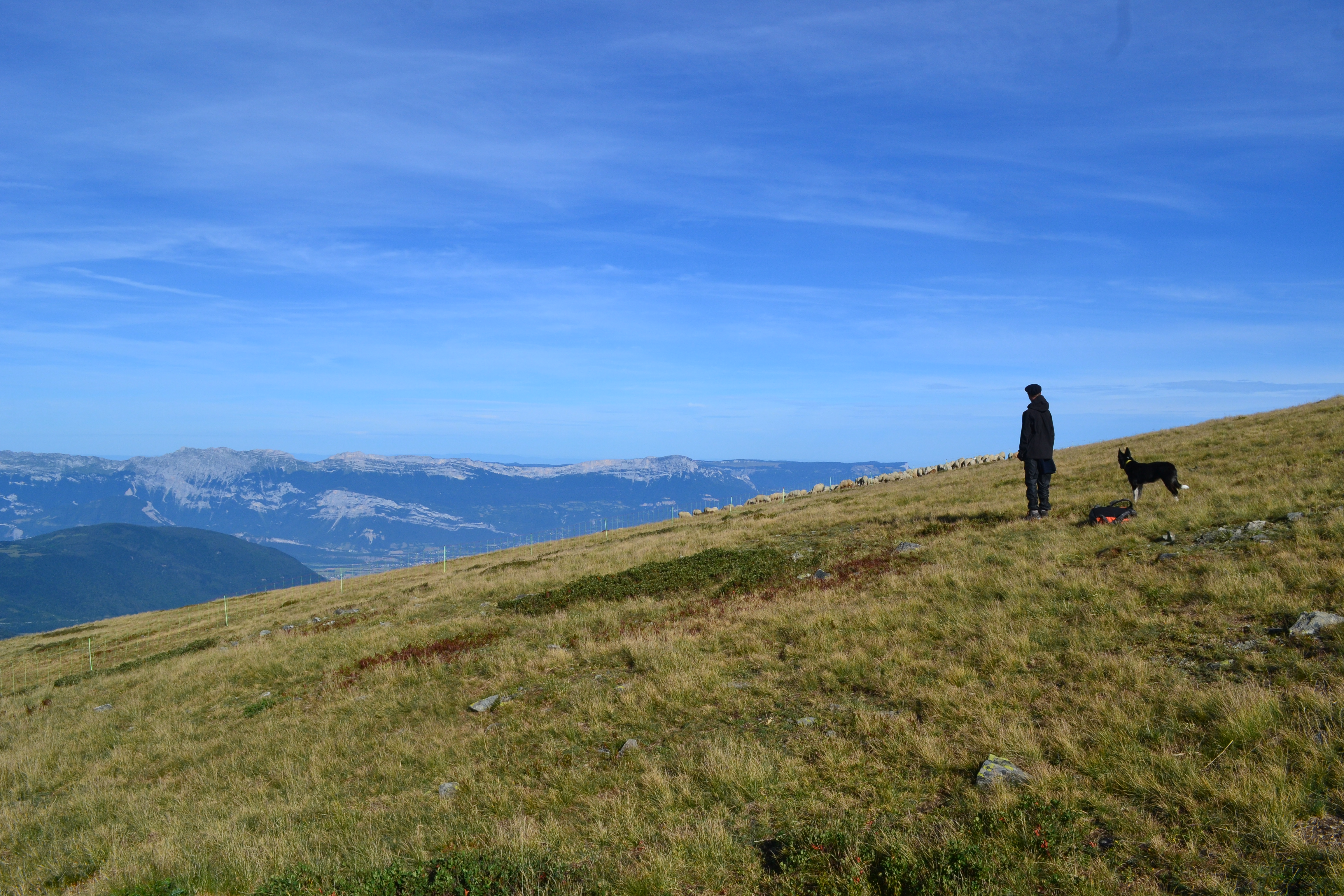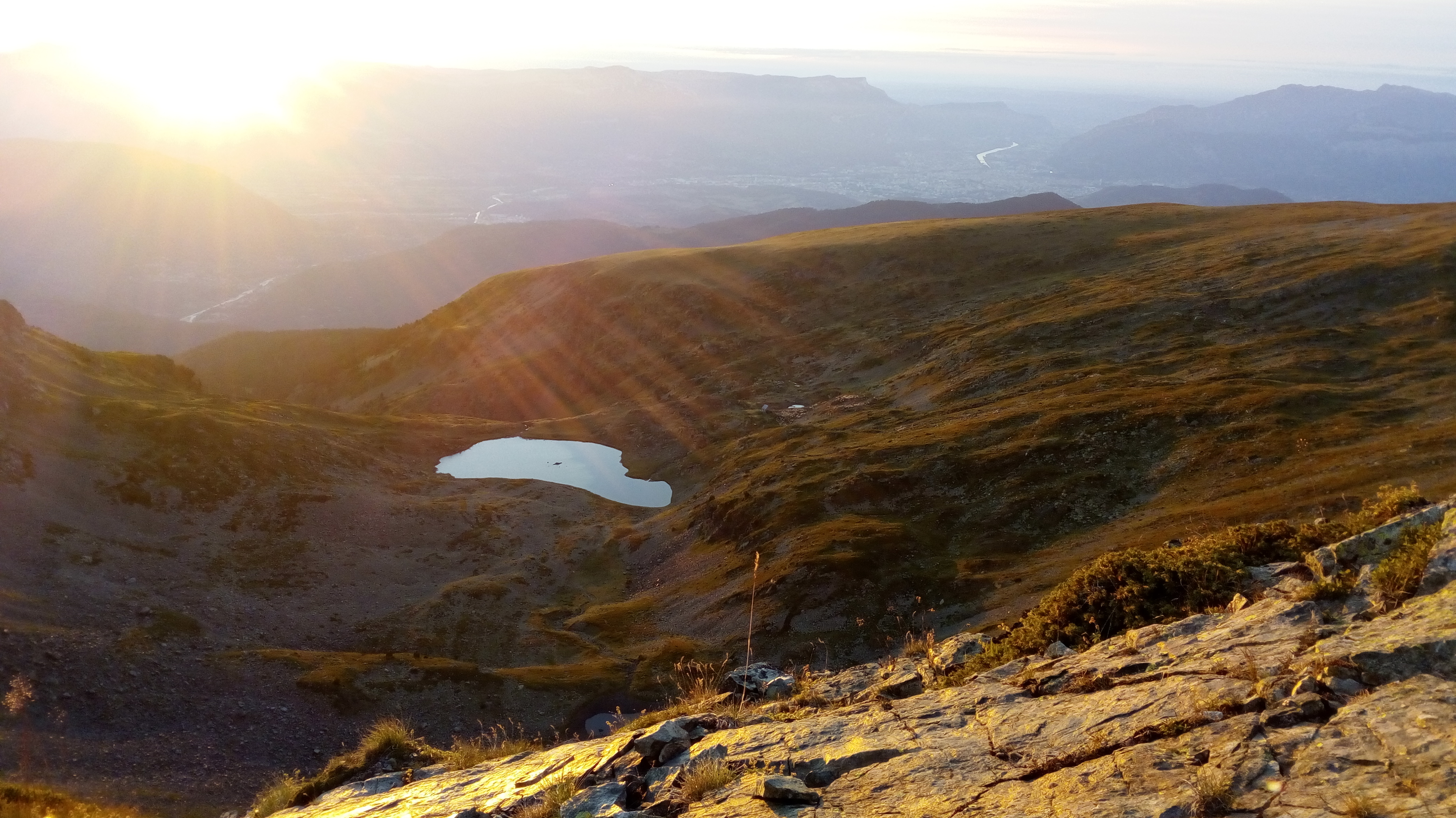
Brouffier lake by way Bonniot.
Very nice hike starting in the woods, then following an impetuous steep mountain torrent, and going along beautiful waterfalls to reach a high mountain lake in a pasture. Please stay on the main trail, as you enter a rich but fragile area. Nature deserves to be protected.
Drive on the road of "Poursollet" and park at the fourth switchback. From there, turn right on the forest flat track nammed "Bonniot" (no-entry sign) which reaches the Louvet shed (where the wolves used to stand) and the very small lake of Prévourey. Cross the vale into the direction of the end of the combe. A trail starts on the slope in line with the river. While the slope is getting less steep, the trail comes closer the torrent and crosses it. Only few switchbacks to reach the other bank, and a right-side traverse up to the spillway. To go down, walk along the lake on your left and reach a little shed, where the way back begins. Cross the summit of "Brouffier", then walk down to the walking indication "Les Fontenettes". Turn left and left again arriving on "Chemin de Bégoud". Walk back "Chemin de Bonniot" to the car park.
En pratique
- Acceptés
Publics
- Level red – hard,
- Walkers/hikers
Animaux acceptés
- Acceptés
Conditions d'accueil des animaux
-
Les animaux doivent être tenus en laisse. Attention, la randonnée traverse des alpages avec bergers et patous. N'oubliez pas les consignes à respecter :
1/Veillez à refermer les clôtures et respectez la cabane du berger/
2/Contournez le troupeau pour ne pas le déranger ou inquiétez le patou
Services
- Pets welcome
Nature du terrain
- Stone,
- Ground,
- Not suitable for strollers
Informations complémentaires
Tourisme adapté
- Not accessible in a wheelchair
Langues documentation
- English,
- French
Durée moyenne d'une visite groupée
- 180h
Ouvertures
From 01/06 to 15/11.
Subject to snow conditions.
Périodes
- Autumn,
- Summer,
- Spring
Tarifs
Free access.
Go there
Latitude : 45.036053
Longitude : 5.86134
Height : 1600
Go there
Prendre la route du Poursollet (Quand on vient de Grenoble, première route à gauche juste après le panneau d'entrée "ALPE DU GRAND SERRE" / Quand on vient de La Mure, traversez tout le village jusqu'en haut de la route qui redescend à Séchilienne, avant de commencer la descente, prenez la route à gauche), montez la route jusqu'à la 4 ème épingle dans laquelle vous aurez la place de vous garer. C'est dans le creux de l'épingle que le chemin Bonniot part.
Information mise à jour le 27/07/2022
par Matheysine Tourisme


