Chemin patrimonial de la montagne du Laud
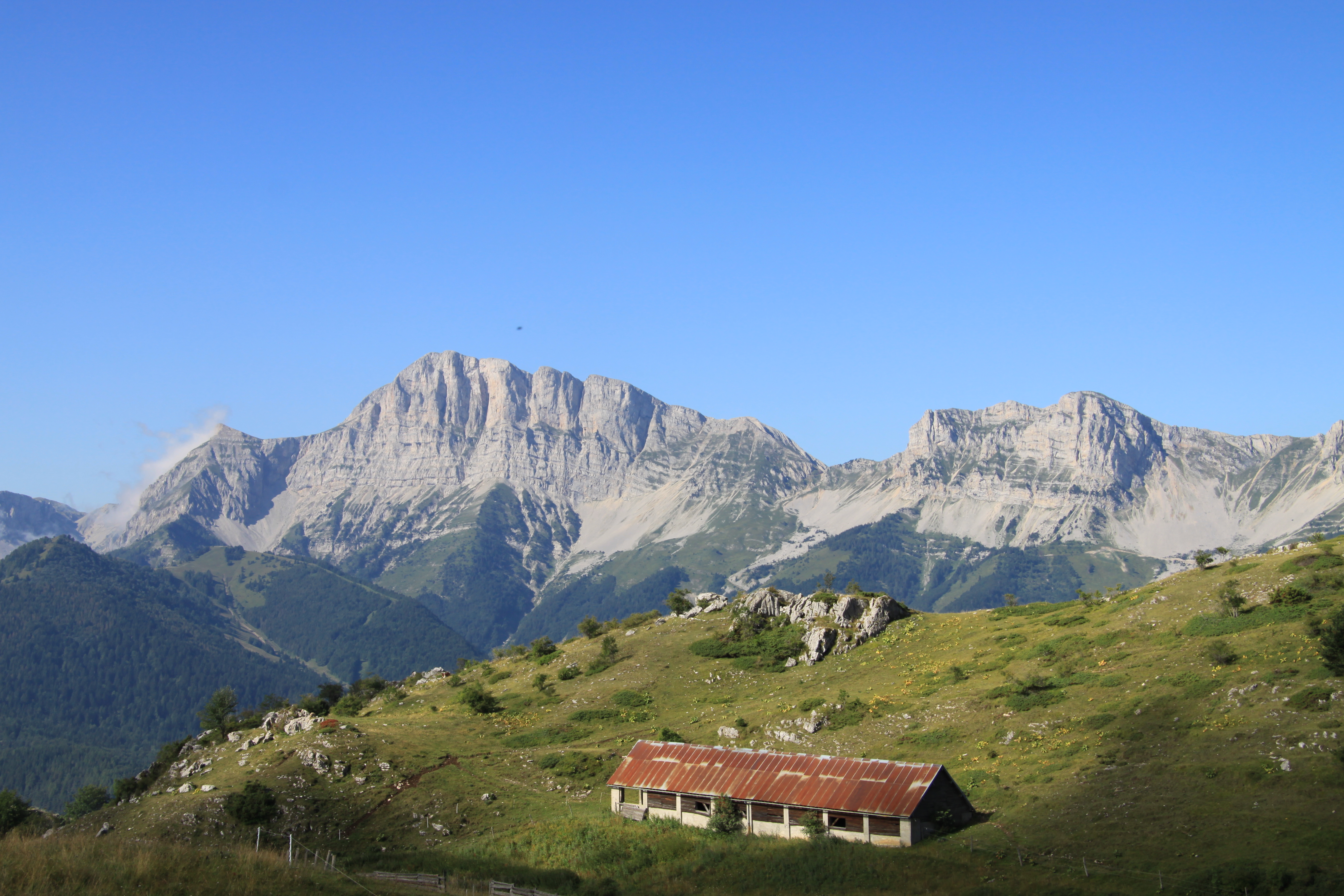
This heritage trail takes you up the pastoral mountain of Laud and on to the hamlet of Chômeil. It presents the life and history of this mountain pasture in twelve stages with information panels created by "Gresse en Vercors Histoire et Patrimoine".
It can be covered in two to four hours, or you can make a day of it and picnic near the market hall.
Panel 1: The barony of Gresse at the time of the lords: the Artaud de Montauban and De Ponnat dynasties.
Panel no. 2: Rural road no. 1 from Gresse to Monestier and the fairs of our two villages.
Panel 3: The birds of Gresse to admire, listen to and, above all, not to disturb! Thank you
Sign no. 4: The Laud mountain, home to 9 of the commune's 13 hamlets.
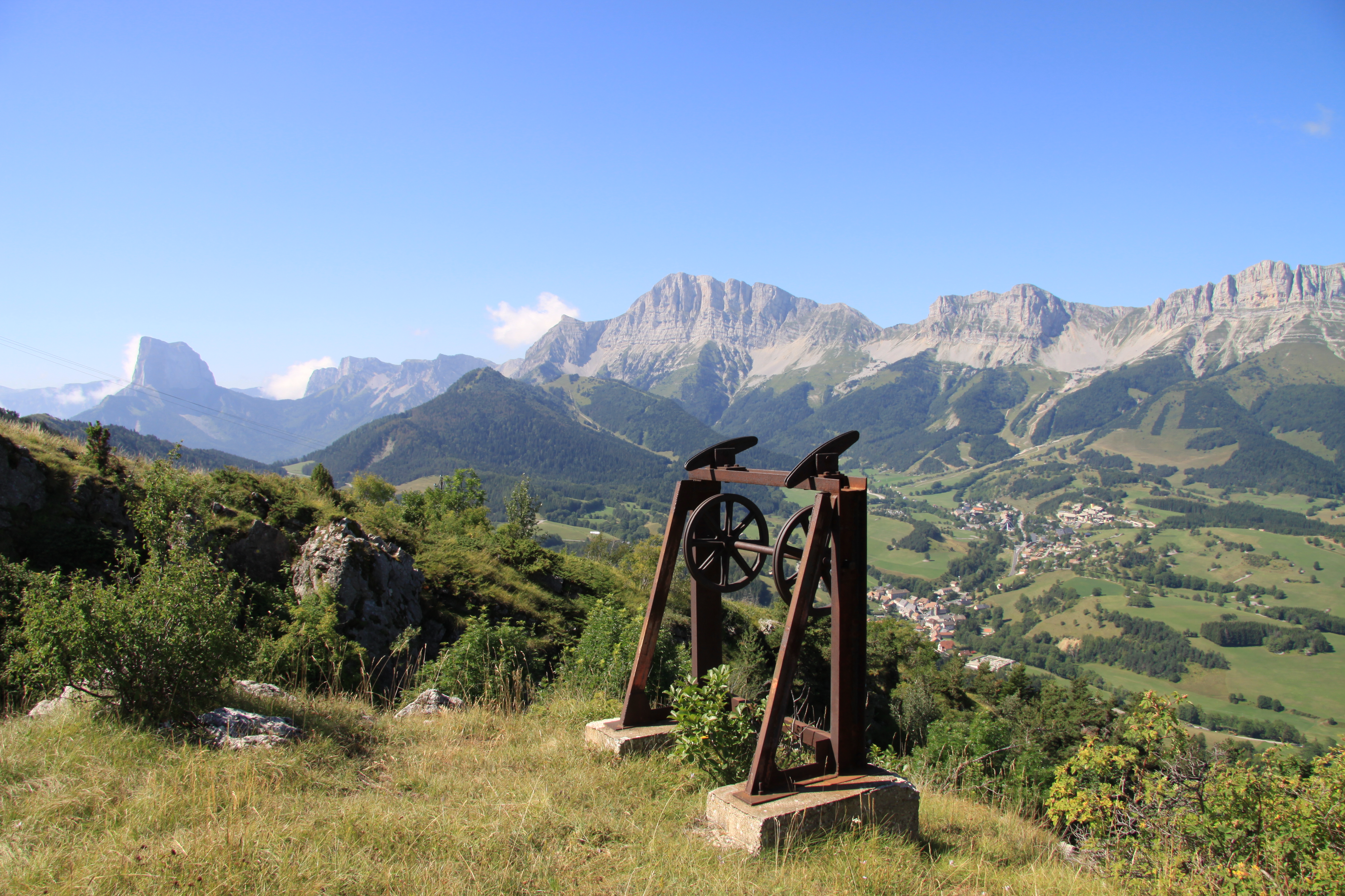
Sign no. 5: The dairy cable and the Fruitière (cheese-making company)
Sign no. 6: The market hall, a place for sharing and meeting, where you can picnic.
Sign no. 7: Le Pas de l'Echaillon and the Chômillous hay sleighs.
Sign no. 8: La belle histoire de Thérèse aux Côtes du Chômeil.
Panel no. 9: Mont-aiguille and Grand Vyemon as seen from La Chauvette.
Panel no. 10: Le Chômeil, the village with its fine stonecutters' houses.
Panel no. 11: The work of shoeing cattle.
Panel 12: The lower station of the milk cable and return to the village.
Don't forget to bring water, which is not available on this itinerary.
The mountain pasture is a shared space, a place to recharge one's batteries, but also a place of work for shepherds and breeders. Respect the shepherd's peace of mind!
Stay away from the heifers, don't damage the fences and close them behind you.
Take care of watering holes and dispose of garbage.
Stay on the paths and tracks, admire the flowers and photograph them without picking them!
En pratique
- Acceptés
Publics
- Walkers/hikers,
- Level bue - Medium
Animaux acceptés
- Acceptés
Conditions d'accueil des animaux
- Dogs must be kept on a leash due to the presence of herds.
1. The first sign is at the corner of the parking lot. Then take the tarmac road towards the cemetery (village entrance), then quickly find a post on the right called "La Casse". Follow signs for "Le Serpaton".
2. Gradual but steady ascent with fine views over the village before reaching the asphalt alpine road and then the parking lot.
3. At the end of the parking lot, turn right towards the old "cable laitier" below, then continue to the market hall.
4. Continue behind the hall to Pas de l'Echaillon, then follow the path down to the hamlet of Chomeil.
5. Return to the village along the tarmac road (take care!).
Services
- Pets welcome
Équipements
- Car park,
- Charging stations for electric vehicles,
- Free car park
Nature du terrain
- Not suitable for strollers,
- Hard coating (tar, cement, flooring),
- Rock,
- Ground
Informations complémentaires
Langues parlées
- French
Durée moyenne d'une visite groupée
- 150h
Ouvertures
All year round.
Subject to favorable weather.
Périodes
- Autumn,
- Summer,
- Winter,
- Spring
Tarifs
Free access.
Go there
Latitude : 44.902
Longitude : 5.5682
Height : 1165
38650 Gresse-en-Vercors
Go there
Information mise à jour le 07/08/2023
par Office de Tourisme du Trièves


