Col de Maronne - snowshoeing from Auris-en-Oisans
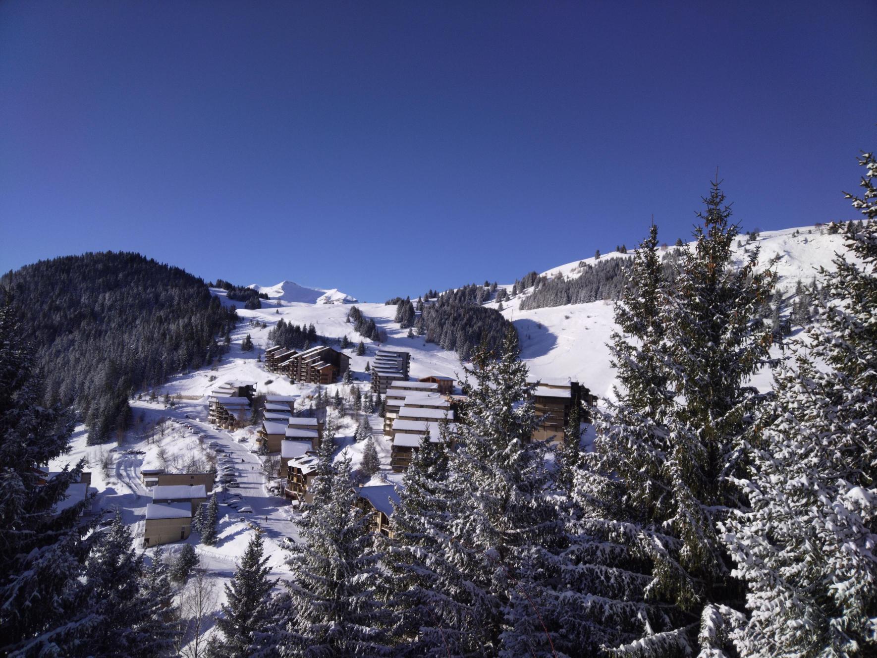
From the resort, embark on a hike to the Col de Maronne, from where you can observe the 2 Alpes glaciers and the Grandes Rousses!
TECHNICAL INFORMATION
Start: Place des Orgières
Height difference: 110 m
Round trip time: 1 h
Round trip distance: 3.2 km
Level: easy (green)
MAP AND TOPO
Pedestrian and Nordic map of the Alpe d'Huez ski area (available from the tourist office).
ITINERARY
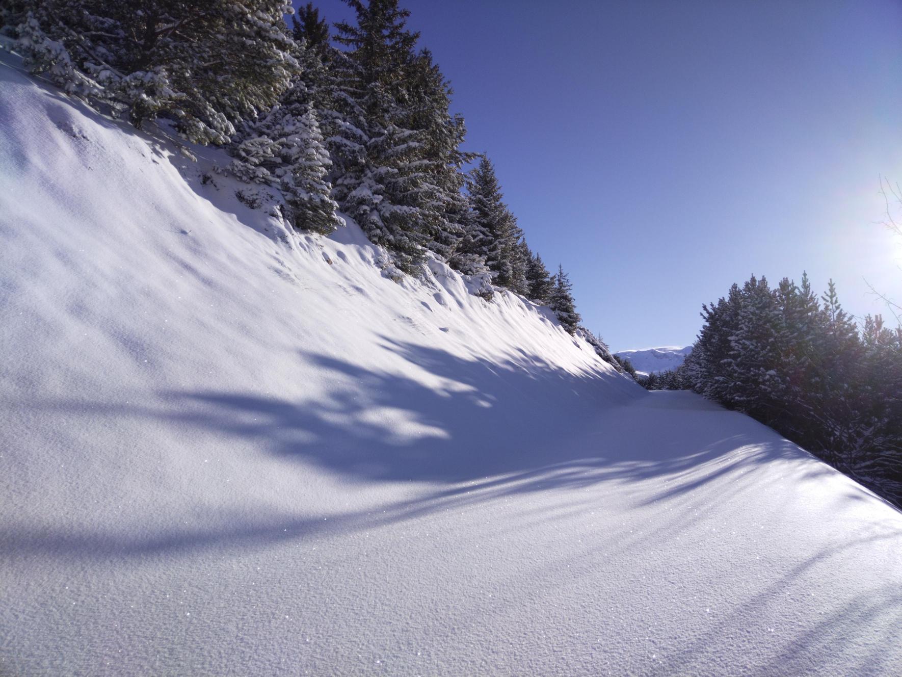
Take the stairs in front of the Vacancéole - Les Écrins d'Auris residence. Walk up towards the ski slopes, then take the pedestrian path around the residence to the left. You'll first pass through a wooded area, then gain height and a clearer view of the Auris surroundings. Once you reach the Col de Maronne, a view of the glacier des é Alpes and the Grandes Rousses awaits you. The itinerary includes a return by the same route, but you also have the option of continuing to the Plateau de la Rochette, from where you can take the Auris Express chairlift back to the resort.
This itinerary is part of the cross-country ski loop.
TO SEE ALONG THE WAY
View of the resort and slopes
View of the Écrins
View of Alpe d'Huez
NEARBY SIGHTS
Auris-en-Oisans resort and hamlets
In practice
Services
- Pets welcome
Time schedule
From 12/07/24 to 04/13/25
-
Monday :
Open
-
Tuesday :
Open
-
Wednesday :
Open
-
Thursday :
Open
-
Friday :
Open
-
Saturday :
Open
-
Sunday :
Open
Subject to favorable weather
Subject to snow conditions
Prices
Free access.
Go there
Latitude : 45.056112
Longitude : 6.078046
Height : 1600
38142 Auris-en-Oisans
Go there
Information mise à jour le 11/01/2025
par Oisans Tourisme


