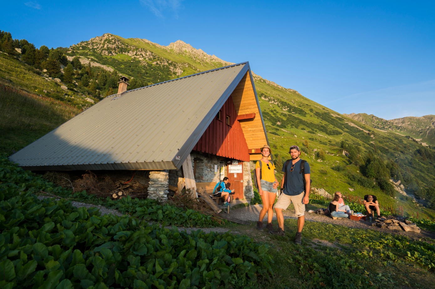
GR®738 - Stage 3: Refuge de La Perrière - Refuge de La Pierre du Carre
This stage takes in the Isère region on a beautiful route from pass to pass, offering remarkable panoramic views of the Grands Moulins foothills, the Lauzière and Mont Blanc.
The stage begins with a short ascent of the Frèche and Arpingon passes. The latter offers a remarkable panorama of the Grands Moulins foothills, La Lauzière and Mont Blanc. Continuing along the trail, you'll find the Férices refuge in a magnificent cirque, a veritable mineral conch. The Le Bens torrent marks the passage between Savoie and Isère. Long attached to the kingdom of Piedmont-Sardinia, the Savoie didn't join France by referendum until 1860, and a few engraved markers (the fleur-de-lis on one side, the dauphin on the other) recall the history of these two departments. Then comes the Claran mountain pasture, a veritable blueberry nest, used for three generations by a family of transhumants and their 3,000 ewes.
When you arrive at the refuge, Guylain will open his doors and take care of you.
En pratique
- Non disponible
Publics
- Walkers/hikers,
- Level red – hard
Animaux acceptés
- Non disponible
Informations complémentaires
Durée moyenne d'une visite groupée
- 405h
Ouvertures
All year round.
Subject to favorable snow and weather conditions.
Périodes
- Autumn,
- Summer,
- Winter,
- Spring
Tarifs
Free access.
A voir aussi
Information mise à jour le 20/12/2024
par Isère Attractivité


