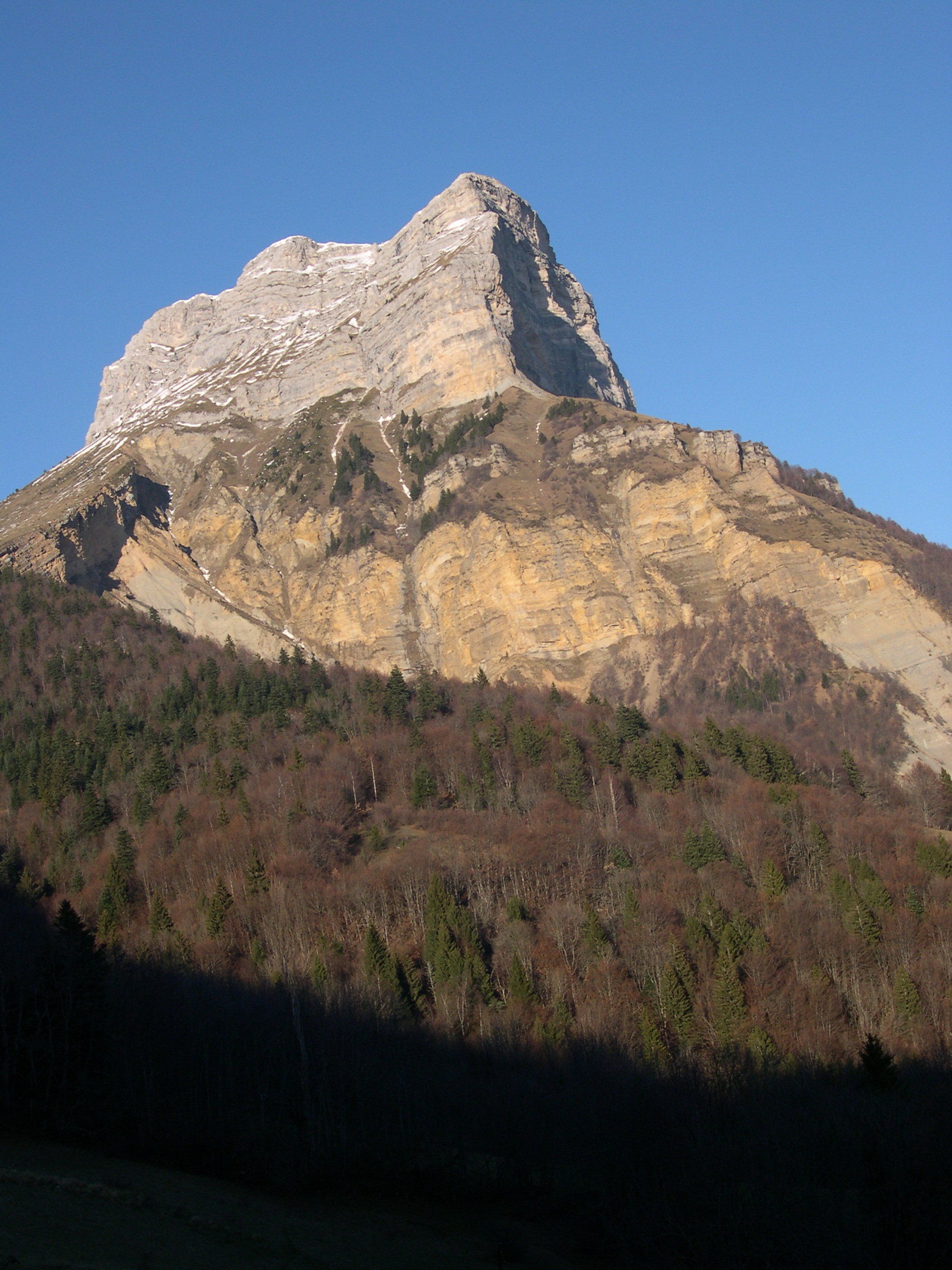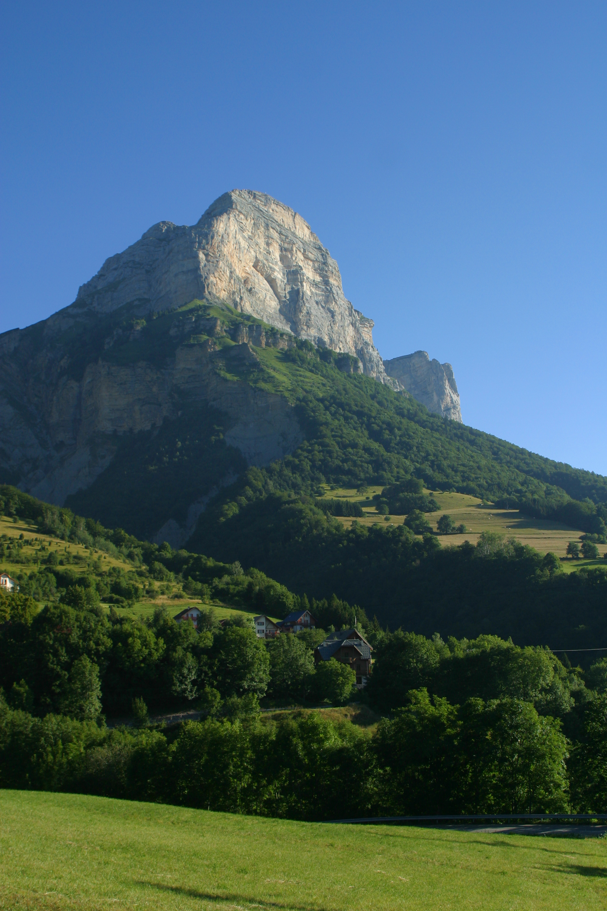
La Dent de Crolles
La Dent de Crolles is a famous name for cavers the world over, but it's also an iconic summit in the massif and the gateway to the Hauts de Chartreuse Nature Reserve.
(1) From the car park, go down for about 50 meters on the road to Grenoble. The path starts on the left, follow Col des Ayes (red and white GR signs). (2) At the Col des Ayes, keep going on the right to Pas de l’Oeille. (3) At the junction 1,640 m, turn right towards Pas de l’Oeille (3). This part of the hike can be challenging. When you reached the Col, the top of the Dent de Crolles appears on your right. (4) From the top, go down in the small valley towards the North. At the junction 1,800 m, follow Col des Ayes par Trou du Glaz (5). This part of the hike can be challenging. The path passes in front of the Trou du Glaz, enjoy the coolness! The itinerary reaches the Ayes’ meadow, then the Col des Ayes and the car park. You can do this loop the other way around.
En pratique
- Non acceptés
Publics
- Level red – hard
Animaux acceptés
- Non acceptés
Conditions d'accueil des animaux
- Les chiens, même tenus en laisse, sont interdits sur la réserve naturelle des hauts de Chartreuse (de la Dent de Crolles au Mont Granier).
Informations complémentaires
Langues parlées
- French
Durée moyenne d'une visite groupée
- 270h
Ouvertures
From 01/05 to 30/11.
Subject to favorable weather.
Périodes
- Autumn,
- Summer,
- Spring
Tarifs
Free of charge.
Go there
Latitude : 45.302409
Longitude : 5.836687
Saint-Pancrasse
38660 Plateau des Petites Roches
Go there
Accès en transport en commun : Bus Cars Région T85, arrêt : Plateau des Petites Roches - Les Meunières (ajouter 2,5km et 500m de D+).
Information mise à jour le 05/03/2024
par Chartreuse Tourisme


