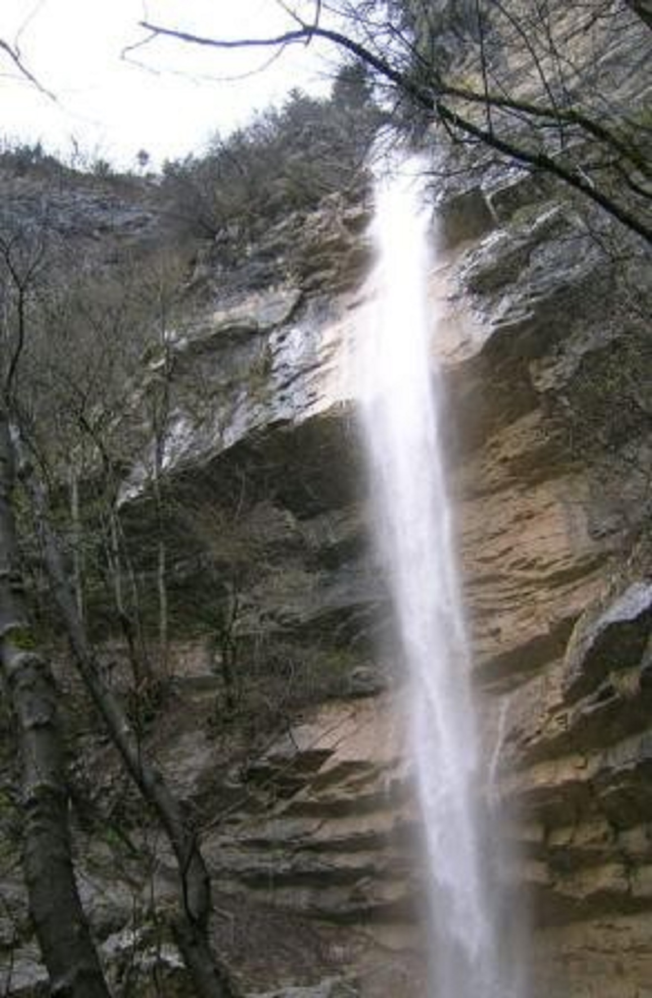
Le furet waterfall
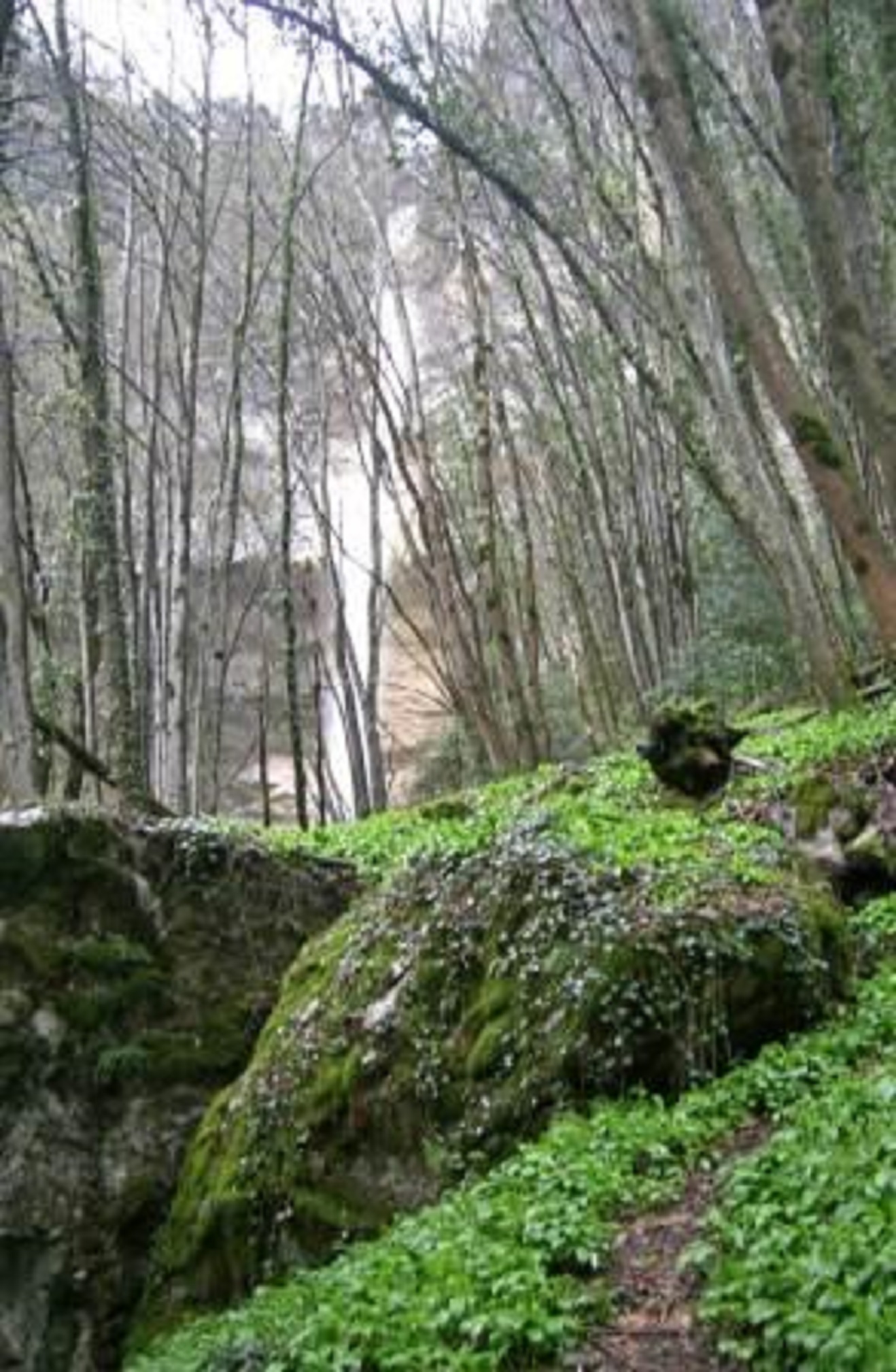
Le Furet is a small waterfall nestling deep in the valley opposite Fort Barrraux. Hidden in the forest, the waterfall is beautifully frozen in winter
ACCESS AND ROUTE
The best place to park is in the village of Barraux and to go up the Rue du Carré. This road ends at a wide forest road which goes along past a meadow. Leave the first path on the left (sign and reservoir). At the junction, go straight on ( yellow sign) and take a narrower, darker path ( a sort of corridor of vegetation) which comes out into a fork (with a large spruce tree in the middle). The path goes up to the right between two banks, and then comes out onto a wider road which goes through a magnificent beech grove. From this point onwards the path follows the Le Furet valley towards the Le Furet stream and the waterfall (less than one hour). On crossing the stream, an old wooden sign nailed to a tree, shows the direction of the waterfall on the left. To reach the waterfall, take the path along the left bank, which is not signposted but which brings you to the waterfall in about ten minutes.
Altitude and starting point : Barraux 350m
Altitude of waterfall 670m
Difference in altitude : 320 m
Difficulties : none
signposting :yellow (but not the standard PNR Chartreuse) except access to the waterfall which is not signposted. The grey lower part corresponds to the old Tour de Pays signs (red paint)
Time schedule
From 01/01/25 to 12/31/25
-
Monday :
Open
-
Tuesday :
Open
-
Wednesday :
Open
-
Thursday :
Open
-
Friday :
Open
-
Saturday :
Open
-
Sunday :
Open
Information mise à jour le 15/04/2022
par Office de Tourisme de Belledonne Chartreuse


