Sénépi Hike
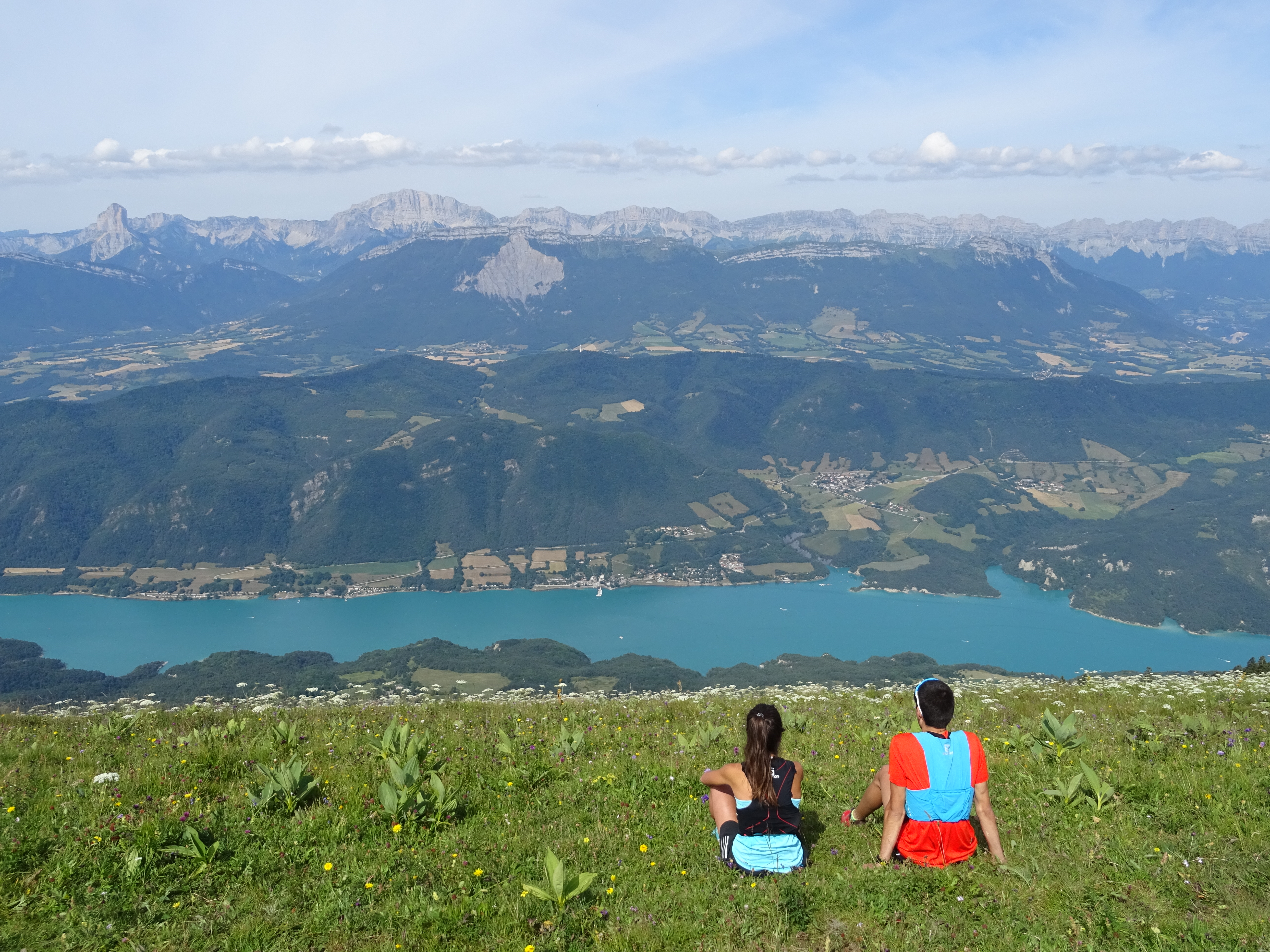
Sénépi, as well as being the largest organised Alpine pasture in France, has one of the most beautiful views of Isère at its summit. This 5-hour hike is a brilliant day out and circles round in a nice loop.
Route :
Departure from the Prunières car park, direction "Sénépi" via "Écurie Templier", "Combe de Prunières", "Écurie Bernard", Bergerie de Mayres", "Col du Sénépi" and "Le Buy". From this crossroads, take the direction "Les Clos" and "Combe de Lamat" then "Écurie Templier" to reach Prunières.
Variant : Setting off from Les Signaraux, head towards Sert Leyçons on a small, wooded path that runs alongside the road. Pass by the ski lift, taking the track towards Clarafin. Keep going until you reach the Col du Senépi at the bottom of a beautiful valley. From there, take the path, first across, then straight ahead, and climb upwards through wide hairpins until you reach the summit. For the descent, head towards Grand Lau at the Col du Senépi, before returning to Les Signaraux, passing through Les Treizes Bises, Combe Noire, Arboretum, La Fila.
17km, 855m D+ et 5h15
Description
While in summer, the large pasture hosts over a thousand head of cattle, it also offers hikers an exceptional view at the point where the massifs of the Southern Dauphiné meet. From the lookout point, it looks as if you can reach out and touch Obiou, and Le Taillefer, Mont Aiguille and the Olan rise up in front of you… This grassy hike is very accessible.
En pratique
- Acceptés
Publics
- Walkers/hikers,
- Level red – hard
Animaux acceptés
- Acceptés
Conditions d'accueil des animaux
- Animals must be kept on a leash. You pass through an alpine pasture.
Services
- Pets welcome
Équipements
- Orientation board
Nature du terrain
- Ground,
- Not suitable for strollers
Informations complémentaires
Tourisme adapté
- Not accessible in a wheelchair
Langues parlées
- French
Langues documentation
- English,
- French,
- Dutch
Durée moyenne d'une visite groupée
- 225h
Ouvertures
From 01/04 to 30/11.
Subject to favorable snow and weather conditions.
Périodes
- Autumn,
- Summer,
- Spring
Tarifs
Free access.
A voir aussi
Go there
Latitude : 44.893915
Longitude : 5.759686
Go there
Depuis La Mure, suivre la direction Prunières. Monter sur la droite vers le Puits des Rioux.
Information mise à jour le 14/10/2023
par Matheysine Tourisme


