The rock of Comboire - Family walk
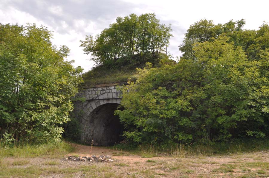
Known for its ancient fort, the Comboire rock is an island of greenery protected from the galloping urbanization of the neighboring communes. This 2-hour loop marked out in yellow allows you to discover a rich natural and historical heritage.
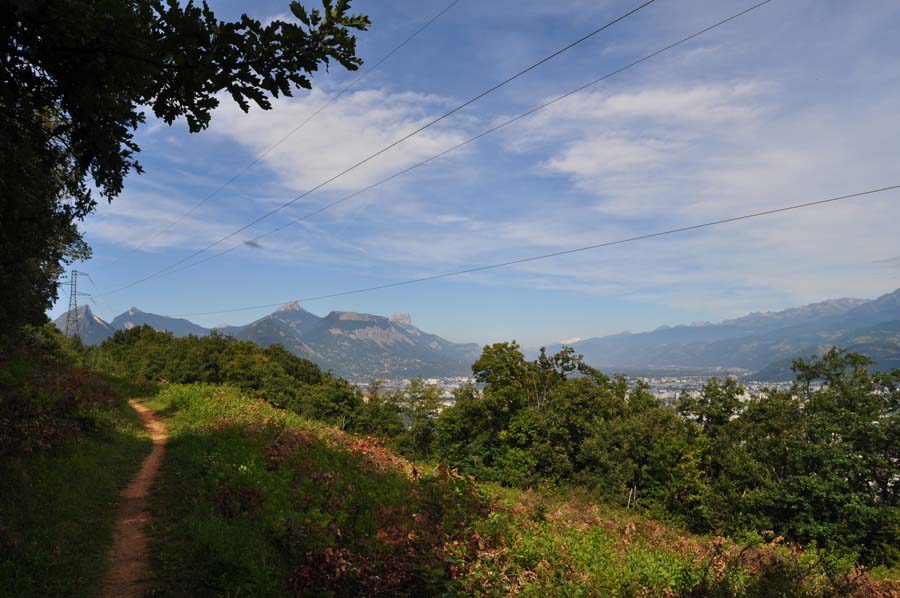
When you get off the bus 58 at the stop "Col de Comboire", you will see near the yellow sign indicating the direction of "Les Cimentiers" that you will take. About a hundred meters after leaving the road, turn right, towards the South to join the path going up to the place called "Les Cimentiers" towards the Belvedere of Comboire. A hundred meters of difference in level by a rather steep path will be to climb to reach the top of the rock. Depending on the season, you will take the opportunity to observe the Mediterranean vegetation with for example the characteristic three-lobed leaves of the Montpellier maples. At the top, an exceptional panorama on the Grenoble basin and the surrounding mountains awaits you. From there, the long rock of Comboire offers you a relaxing walk on its ridge for nearly 2 km with the agglomeration in the East and the limestone cliffs of the Vercors in the West. At the northern end of the loop, near the Nalettes in Seyssins, the path begins a steep descent, then gradually turns south on a wide shaded track. Follow now the direction of Cimentiers to join the path of the departure, then the road where a bus will allow you to leave with certainly some regrets this sector at the same time so country and so close to the city.loop passing by the top of the rock of Comboire.
THE FORT OF COMBOIRE
Built at the end of the XIXth century, this building is the last born of a set of 6 forts in charge of defending the old capital of Dauphiné (the other forts are those of Saint Eynard, Murier, Bourcet, the mountain of 4 lords, Montavie).
THE CEMENT STONE QUARRIES
The rock of Comboire conceals a real network of underground galleries, which date back to the exploitation of the cement stone by the Vicat company, founded by the inventor (Louis Vicat) of cement in 1827.
En pratique
- Acceptés
Publics
- Level green – easy
Animaux acceptés
- Acceptés
Services
- Pets welcome
Nature du terrain
- Stone,
- Ground
Informations complémentaires
Langues parlées
- French
Durée moyenne d'une visite groupée
- 135h
Ouvertures
All year round.
Périodes
- Summer
Tarifs
Free access.
A voir aussi
Go there
Latitude : 45.139623
Longitude : 5.673243
38640 Claix
Go there
ACCESS : bus stop 21 "Col de Comboire
Information mise à jour le 03/03/2023
par Office de Tourisme Grenoble Alpes


