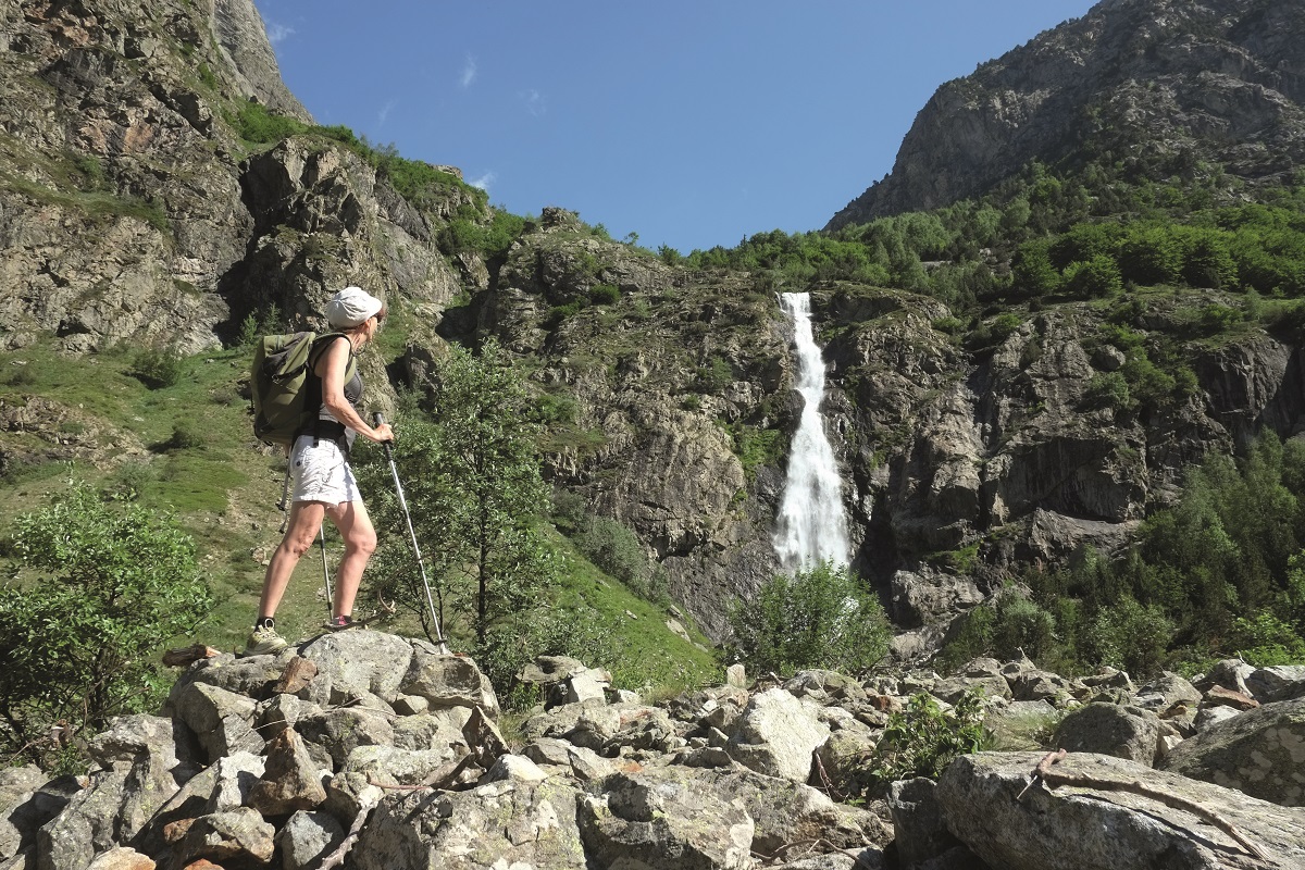
The Waterfall of La Pisse and the lookout off basse pisse
This trail allows you to safely enjoy the wild high mountain and feel the power of the elements.
Altitude climb + : 270 à 500 m
Outward walk : 3h à 4h30
Start : Le Désert-en-Valjouffrey
Difficulty : easy to difficult Map : Top 25 IGN 3336ETR Les 2 Alpes Trail map « Pays du Valbonnais »
In the heart of the Ecrins National Park, go up the high valley of La Bonne. After crossing the village and pastures lined with rockeries, you will discover wild waterfalls along your path. The valley is U-shaped, characteristic of landscapes shaped by glaciers.
Start from the car park located at the entrance of Désert-en-Valjouffrey. Cross the village, following Font Turbat . Cross the GR 54 by crossing over the La Laisse River on the wood bridge. Take the large path in the pasture along La Bonne . Walk past the waterfall of La Pisse, crossing the La Pisse Torrent.
At the waterfall of la Pisse, which is 80m high, you can enjoy the site or climb higher to discover the mineral granite landscape at the cabin of La Pisse, with views over the Olan and the narrow valley of Font Turbat.
Elevation : + 487 m
From there, carry on until a signpost indicating Basse Pisse to the left. The path takes you through a recolonised scree, then woods before reaching a ruin in an old meadow. Return by the same route.
Elevation : + 645 m
En pratique
- Non acceptés
Publics
- Walkers/hikers,
- Level red – hard
Animaux acceptés
- Non acceptés
Conditions d'accueil des animaux
- Vous êtes en zone coeur du parc des Ecrins. Les chiens même tenus en laisse sont interdits.
Équipements
- Car park,
- Free car park
Nature du terrain
- Stone,
- Ground,
- Not suitable for strollers
Informations complémentaires
Tourisme adapté
- Not accessible in a wheelchair
Langues parlées
- French
Langues documentation
- English,
- French,
- Dutch
Durée moyenne d'une visite groupée
- 135h
Ouvertures
All year round.
Subject to favorable snow and weather conditions.
Périodes
- Autumn,
- Summer,
- Winter,
- Spring
Tarifs
Free access.
Go there
Latitude : 44.868884
Longitude : 6.086865
38740 Valjouffrey
Go there
Prendre la direction Valbonnais, traversez le village de Valbonnais. A Entraigues, devant la maison du parc des Ecrins prendre la route de droite vers Valjouffrey.
Traversez les différents hameaux de la commune (La Chapelle en Valjouffrey, La Chalp, Les Faures). Avant d'arriver au Désert-en-Valjouffrey, garez vous dans la dernière épingle à votre gauche.
Information mise à jour le 24/11/2023
par Matheysine Tourisme


